
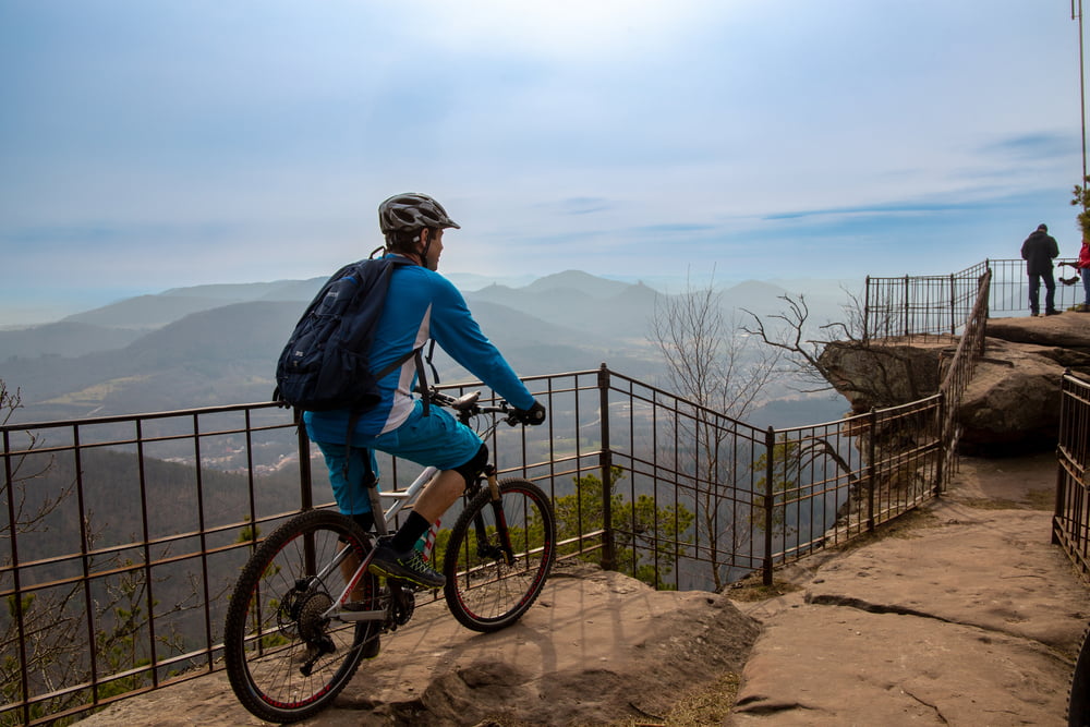

Diese kurze Runde bietet einige Highlights: Als erstes erreichen wir das wunderschöne Aussichtsplateau des Orensfels(en), das für mich eine der schönsten Stellen im Pfälzerwald ist. Vorbei an der Startrampe der Drachenflieger geht zur Landauer Hütte und im Anschluss zur Burg Neuscharfeneck. Als letztes unserer Ziele fahren wir weiter in Richtung St.-Anna-Kapelle oberhalb von Burrweiler. Dort öffnet sich der Blick auf die Weite der Rheinebene. Frühaufsteher können hier einen wunderschönen Sonnenaufgang erleben. Die verbleibenen Kilometer rollen wir auf schmalen aber gut zu fahrenden Pfaden in Richtung Ausgangspunkt.
galéria trás

Mapa trasy a výškový profil
Minimum height 269 m
Maximum height 583 m
More about the tour author
|
|
U.J._Alexander |
komentáre

Startpunkt der Tour ist der Waldparkplatz Gleisweiler (Parkplatz Lindenallee)
GPS trasy
Trackpoints-
GPX / Garmin Map Source (gpx) download
-
TCX / Garmin Training Center® (tcx) download
-
CRS / Garmin Training Center® (crs) download
-
Google Earth (kml) download
-
G7ToWin (g7t) download
-
TTQV (trk) download
-
Overlay (ovl) download
-
Fugawi (txt) download
-
Kompass (DAV) Track (tk) download
-
list trasy (pdf) download
-
Original file of the author (gpx) download
More about the tour author
|
|
U.J._Alexander |
Add to my favorites
Remove from my favorites
Edit tags
Open track
My score
Rate