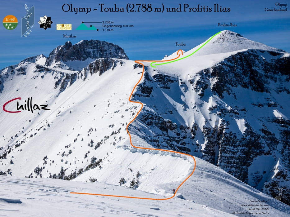
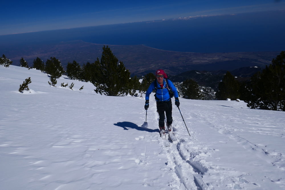
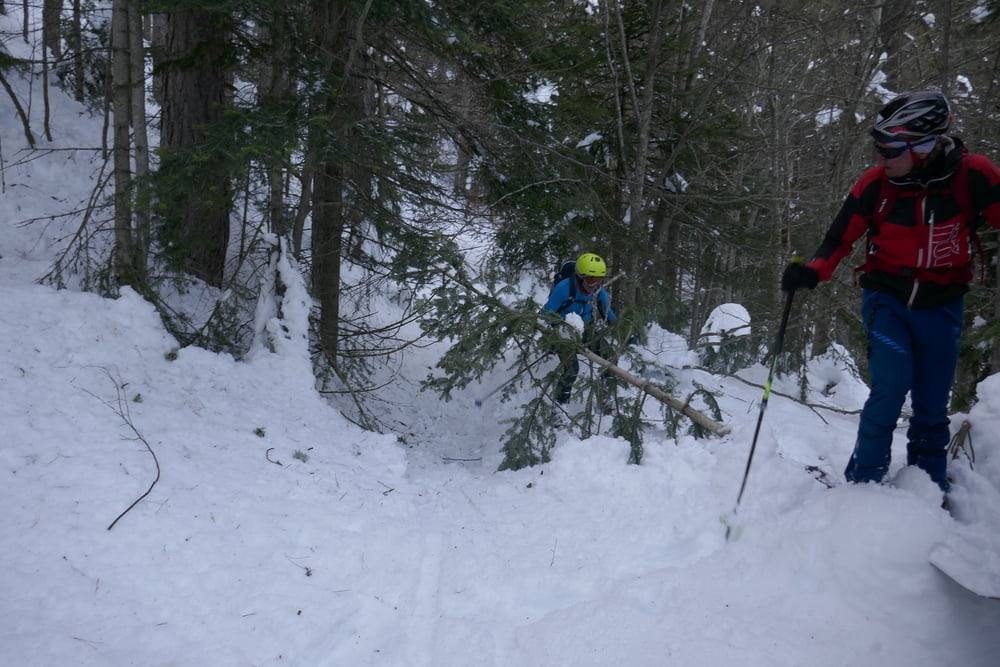
Normalerweise muss man vom Parkplatz aus die Skier noch ein Stück in Richtun gHütte tragen. Wir erreichten aufgrund der Neuschneefälle erst nach einer Stunde mit den Tourenski den Parkplatz. Wer denkt dass nach dem Wochenende der Anstieg eingespurt wäre hat sich getäuscht. Griechenland ist nicht die Alpen! so heißt es spuren, spuren spuren. Die gedachte Abkürzung stellt sich als Fehlschlag heraus. wo die Karte mäßig steiles Gelände verspricht stehen wir auf einmal vor einer Felswand. Also: nicht unserer Aufstiegsspur folgen, sondern den Abfahrtstrack für den Auffstieg verwenden! Irgendwann sind wir wieder auf dem Sommerweg und erreichen die Hütte. Von dort gehht es hinauf auf einen ünerwechteten Grat, der sich aber doch relativ gut mit skiern bezwingen lässt. Danach steilt sich das Gelände auf wir versuchen nicht zu weit in die linkerhand lauernden Schneebretter zu geraten. Am Ende der Steilflanke gibt es alsZugabe eine kleine Steilstufe, die mit einem Drahtseil entschärft ist und im Aufstieg zu Fuß zu bezwingen ist. In der Abfahrt kann sie evtl umfahren werden. Nun über das Plateau zur Hütte und weiter zur Hütte und zum Toumpa Gipfel. Zurück zur Hütte und hinauf zum Profitis Elias mit kleiner Gipfelkapelle. Direkt hinab zur Steilstufe und dann entlang des Aufstiegsweges zurück.
galéria trás
Mapa trasy a výškový profil
Minimum height 970 m
Maximum height 2795 m
komentáre

Von Litochoro fährt man die Zufahrtsstraße zum Olymp bis zum Parkplatz Gortsia.
GPS trasy
Trackpoints-
GPX / Garmin Map Source (gpx) download
-
TCX / Garmin Training Center® (tcx) download
-
CRS / Garmin Training Center® (crs) download
-
Google Earth (kml) download
-
G7ToWin (g7t) download
-
TTQV (trk) download
-
Overlay (ovl) download
-
Fugawi (txt) download
-
Kompass (DAV) Track (tk) download
-
list trasy (pdf) download
-
Original file of the author (gpx) download
Add to my favorites
Remove from my favorites
Edit tags
Open track
My score
Rate


