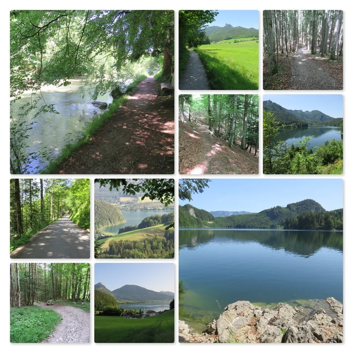
Vom Startpunkt aus geht es über die Ischler Straße zum See und weiter über die Promenade zum Bürgl.
Vor der Brücke beginnt, nach einigen Treppen hinunter, ein Treppelweg an der Ischler Ache entlang. An der Bundesstraße (nach St. Wolfgang) geht es linkerhand über den Radweg bis zur Abzweigung zum Schwarzensee.
Beim Schwarzenbach biegt der Weg links ab und führt dann um den Lugberg herum bis zum gebührenpflichtigen Parkplatz am Schwarzen See.
Der See lässt sich einfach umrunden. Immer wieder laden schöne Plätze zum Schwimmen ein.
An der hinteren Seite des Schwarzensess (Nähe Bachleralm) ist Schutzgebiet!
Nach der Umrundung führt der Weg bis zu den beiden Restaurants.
Nach einer ausgiebigen Rast bei "Zur Lore" führt diese Wegvariante zuerst auf der Forststraße nach Aschau bzw. St. Wolfgang weiter.
Es gibt jedoch eine Abzweigung die vor Aschau zum Mostheurigen führt und von dort zum Campingplatz am Wolfgangsee.
Nach der Umrundung des Bürgls geht es den gleichen Weg wie am Beginn zurück zum Ausgangspunkt.
Further information at
https://www.schwarzensee.at/Mapa trasy a výškový profil
komentáre

GPS trasy
Trackpoints-
GPX / Garmin Map Source (gpx) download
-
TCX / Garmin Training Center® (tcx) download
-
CRS / Garmin Training Center® (crs) download
-
Google Earth (kml) download
-
G7ToWin (g7t) download
-
TTQV (trk) download
-
Overlay (ovl) download
-
Fugawi (txt) download
-
Kompass (DAV) Track (tk) download
-
list trasy (pdf) download
-
Original file of the author (gpx) download

