


Bei der Tour handelt es sich um die 210 km Tour des Alb-Extrem Marathons 2008. Auf Grund von Umleitungen wurden alle Strecken um 10 km verlängert. Die Strecke besteht zu großen Teilen aus (anstrengenden) Anstiegen und tollen Abfahrten. Auf Grund der hohen Teilnehmerzahl findet man in den Querpassagen immer ein Hinterrad, das einen vor dem rauhen Alb-Wind schützt.
Der Marathon war die am besten organisierte Radsportveranstaltung, die ich bis jetzt erlebt habe. Von der Anmeldung, bis zum Ausdruck der Teilnehmerurkunde im Ziel hatte alles Hand und Fuß.
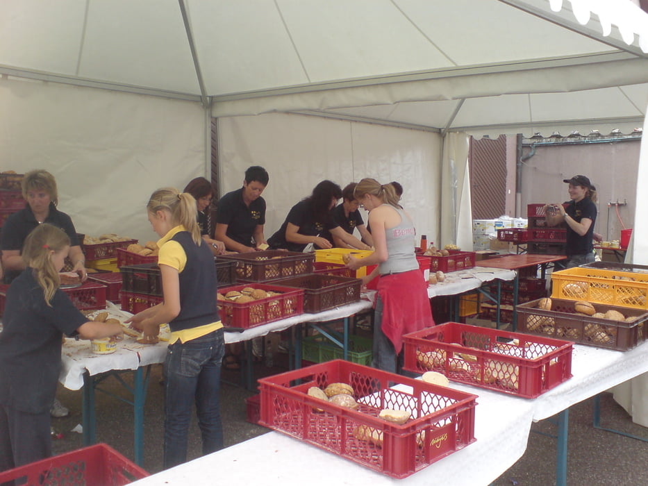
Da es meine erste Teilnahme war, hatte ich ordentlich Respekt und konnte kaum glauben, als meine beiden (erfahrenen) Mitfahrer meinten, dass sie mitfahren, wegen der tollen Verpflegung. Nachdem ich mitgefahren bin kann ich das nur bestätigen.
Hinweis: Die letzten 20 km musste ich manuell einarbeiten, da meinem Garmin der Strom ausgegangen ist.
Further information at
http://www.albextrem.de/galéria trás

Mapa trasy a výškový profil
Minimum height 82 m
Maximum height 761 m
More about the tour author

|
mschoel |
komentáre

Die Tour startet am Ortsrad von Otterbach und ist hervorragend ausgeschildert.
GPS trasy
Trackpoints-
GPX / Garmin Map Source (gpx) download
-
TCX / Garmin Training Center® (tcx) download
-
CRS / Garmin Training Center® (crs) download
-
Google Earth (kml) download
-
G7ToWin (g7t) download
-
TTQV (trk) download
-
Overlay (ovl) download
-
Fugawi (txt) download
-
Kompass (DAV) Track (tk) download
-
list trasy (pdf) download
-
Original file of the author (gpx) download
More about the tour author
|
|
mschoel |
Add to my favorites
Remove from my favorites
Edit tags
Open track
My score
Rate