Rif. Gola di Gouta-Montalto Ligure
Rif. Gola di Gouta-Dolceaqua-Ventimiglia-San Remo-
Arma di Taggia-Badalucco-Montalto Ligure
Das herausfordendste Stück war heute die Abfahrt Richtung Meer. Dem Teer folgt schon bald diesem für die Westalpen so typischen Schotterweg: eine Mischung aus antiker Römerstraße (feste Quersteine, wie gepflastert, aber ziemlich grob) und grobem Geröll. Also sehr intensiv!
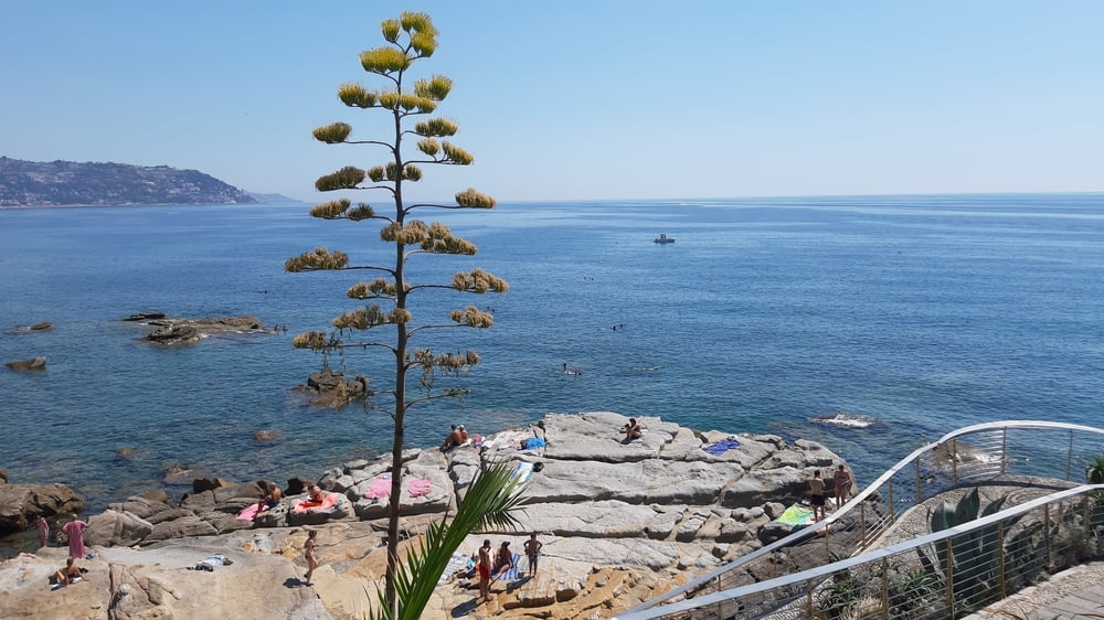
Ab ca 540m Seehöhe wird es dann gut fahrbar. Ankunft am Meer, Ventimiglia! Dann zunächst Radweg direkt dem Meer entlang, dann geht’s tw auf die Uferstraße. Einige lange Tunnelanlagen speziell für Radler und Fußgänger!
Vor San Remo wieder auf den Strandradweg. In Taggia die Arma wechsle ich dann auf die SP Rg. Taggia, Badalucco (sehenswertes Dörfchen) und Montalto Ligure. Ein historisches Dorf auf der Anhöhe, sehr hübsch.
Gutes Abendessen in der Trattoria Ligure, ca 100hm weiter unten.
Quartier Finestrella di Montalto, N 40, sehr schön!
galéria trás
Mapa trasy a výškový profil
komentáre

GPS trasy
Trackpoints-
GPX / Garmin Map Source (gpx) download
-
TCX / Garmin Training Center® (tcx) download
-
CRS / Garmin Training Center® (crs) download
-
Google Earth (kml) download
-
G7ToWin (g7t) download
-
TTQV (trk) download
-
Overlay (ovl) download
-
Fugawi (txt) download
-
Kompass (DAV) Track (tk) download
-
list trasy (pdf) download
-
Original file of the author (gpx) download


