


Am Wanderparkplatz gibt es eine große Informationstafel. Wir haben uns für die gelbe Route entschieden - diese führt um den See und auf der einen Seite direkt am See entlang.
Am Anfang ist der Weg breit angelegt (mit Lampen, wahrscheinlich für die Langlaufloipe, die es hier im Winter gibt). Man kommt an einem kleinen See (gegenüber ist das Hotel) und einer Outdoor-Kirche vorbei.
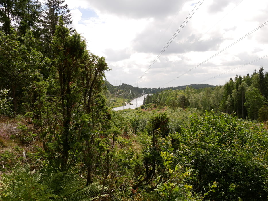
Nach ca. der Hälfte ging es dann über typische schwedische Wanderwege, die halt auch manchmal über Stock und Stein gehen.
Die Route ist sehr gut ausgeschildert, und es gibt immer wieder schöne Aussichten.
Hier könnt ihr euch über das Fjäll informieren: https://www.schwedentipps.se/dalsland/kroppefjaell/
galéria trás


Mapa trasy a výškový profil
Minimum height 136 m
Maximum height 206 m
More about the tour author
|
|
Brattie |
komentáre

Von Süden kommend in Richtung Dals Rostock fahren.
Am Ortseingang links abbiegen in Richtung Kroppefjäll.
Am Hotel vorbei fahren, bis man den "Wanderparkplatz" erreicht.
GPS trasy
Trackpoints-
GPX / Garmin Map Source (gpx) download
-
TCX / Garmin Training Center® (tcx) download
-
CRS / Garmin Training Center® (crs) download
-
Google Earth (kml) download
-
G7ToWin (g7t) download
-
TTQV (trk) download
-
Overlay (ovl) download
-
Fugawi (txt) download
-
Kompass (DAV) Track (tk) download
-
list trasy (pdf) download
-
Original file of the author (gpx) download
More about the tour author
|
|
Brattie |
Add to my favorites
Remove from my favorites
Edit tags
Open track
My score
Rate