

- Rundkurs gegen den Uhrzeigersinn.
- Start/Ziell: Finalborgo/Perti(Camping: Outdoor Active).
- Auf mässig befahrener Strasse bis Calice Ligure KM 3-MH 118.
- Weiter auf kaum befahrener Provinzstrasse(angenehm ansteigend), später weiter auf Asfalt/Beton(mittesteil/steil/einige Abschnitte sehr steil) bis zum Ristorante "Ca`dell Ape" KM 9,2-MH 510.
- Gerölliger Untergrund bis KM 13,8-MH 900.
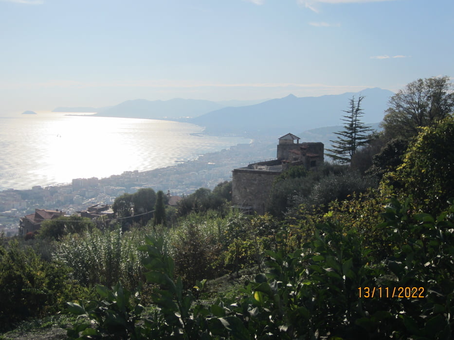
- Weiter durch auf gut zu fahrendem Weg durch Kastanienhaine und Buchenwälder bis zur Kirche "Madonna della Neve" KM 14,7-MH 977.
- Asfalt bis KM 16,7-MH 1.022.
- Auf kompaktem Schotter/steinigem Untergrund bis zum höchsten Punkt der Tour KM19 - MH 1.265.
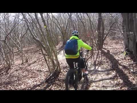
- Flowiger Trail (S1/wenige Stellen S2) bis zum Restaurant "CA`dei Din" KM 21-MH989.
- Weiter talwärts auf teils flowigem, teils steinigem, nicht allzu steilem Waldweg talwärts bis KM28-MH 593.
- Gorra(Restaurant) KM 34,2-MH 262.
- Weiter auf Asfalt bis zum sehenswerten "Borgio Verezzi" (Restaurant) KM 37,6-MH 245.
- Auf Asfalt zur Küste und auf der stark befahrenen, breiten Hauptstrasse nach Finale Ligure/Finalborgo.
- Mit dem E-MTB ist er Anstieg mit etwas Fahrgeschick gut zu bewältigen.
galéria trás


Mapa trasy a výškový profil
Minimum height 64 m
Maximum height 1267 m
More about the tour author
|
|
MargesinFriedrich |
komentáre

GPS trasy
Trackpoints-
GPX / Garmin Map Source (gpx) download
-
TCX / Garmin Training Center® (tcx) download
-
CRS / Garmin Training Center® (crs) download
-
Google Earth (kml) download
-
G7ToWin (g7t) download
-
TTQV (trk) download
-
Overlay (ovl) download
-
Fugawi (txt) download
-
Kompass (DAV) Track (tk) download
-
list trasy (pdf) download
-
Original file of the author (gpx) download
More about the tour author
|
|
MargesinFriedrich |
Add to my favorites
Remove from my favorites
Edit tags
Open track
My score
Rate