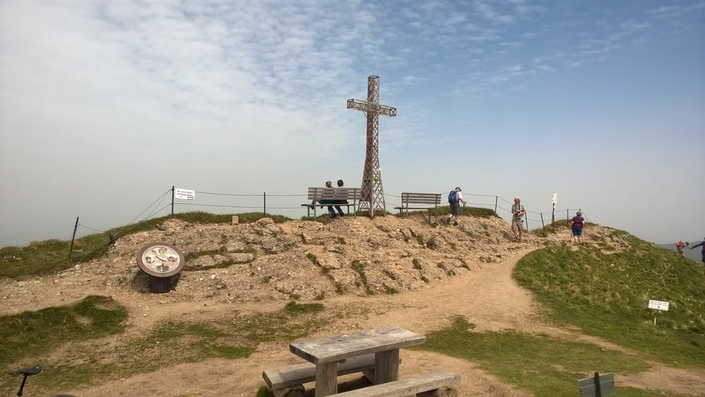
Wem die Immenstäder Trail Runde noch nicht reicht, dem sei diese Tour empfohlen. Denn wir erweitern um den Hochgrat!
Höhenmeter fahrbar ca.: 440 hm
Höhenmeter schieben ca.: 0 hm
Höhenmeter tragen ca.: 0 hm
Wir fahren durchs Gunzesrieder Tal hinauf zur Scheidwang Alpe und von hier weiter bis zur oberen Gelchenwangalpe. Ab hier schieben wir auf den Gipfel des Hochgrat.
Dann folgt die Abfahrt wie in Tour 180242 beschrieben.
Unten angekommen fahren wir das Ehrenschwangertal hinauf bis zur Alpe Mittelberg und von hier weiter bis zum Kemptner Naturfreundehaus.
Ab hier müssen wir nur noch die Tour 180267 abspulen...
MTB-Fahren und Bikebergsteigen sind potenziell sehr gefährliche Sportarten! Seit euch daher des Risikos immer bewusst und schätzt euer eigenes Können nicht zu hoch ein. Vor jeder Tour sollte eine persönliche und ehrliche Risikoabschätzung gemacht werden! Bitte beachtet und haltet euch an die aktuellen gesetzlichen und regionalen Regelungen bezüglich MTB in der Region der geplanten Tour und nehmt immer auf Wanderer und die Natur Rücksicht.
Further information at
/sk/tracks/detail.180267.htmlgaléria trás
Mapa trasy a výškový profil
komentáre

GPS trasy
Trackpoints-
GPX / Garmin Map Source (gpx) download
-
TCX / Garmin Training Center® (tcx) download
-
CRS / Garmin Training Center® (crs) download
-
Google Earth (kml) download
-
G7ToWin (g7t) download
-
TTQV (trk) download
-
Overlay (ovl) download
-
Fugawi (txt) download
-
Kompass (DAV) Track (tk) download
-
list trasy (pdf) download
-
Original file of the author (gpx) download


