


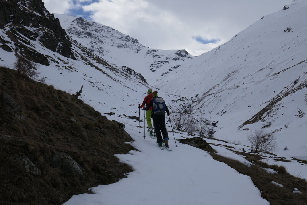
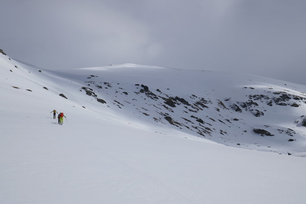
Vom Skigeiet dem Bachlauf auf Wanderweg aufwärts folgen. Die Engstelle kann (wie unser Aufstieg) nach Bachquerung auf der anderen Talseite gut überwunden werden. Alternativ auch links oberhalb, wie unsere Abfahrt. Danach wieder kurz zum Bach hinab und an geeigneter Stelle überqueren. Dann links steil das Seitental empor. Nach Flachstück leicht linkshaltend das Tal verlassend hinaufqueren und zum Vorgipfel. Dort mussten wir wegen Nebel und Sturm umkehren. Der Gipfel wäre über den Kamm erreichbar, alternativ auch weiter hinten aus dem Seitental. In der Abfahrt hielten wir uns nach dem Flachstück nach rechts um die Engstelle am Bach mit dem Gegenanstieg zu vermeiden. Unterhalb der engstelle kommt man wieder auf den Wanderweg und fährt auf der Aufstiegsspur zurück zum Parkplatz
galéria trás


Mapa trasy a výškový profil
Minimum height 1566 m
Maximum height 2555 m

komentáre

Von Prizren über Dragash nach Brod und weiter bis zum Skigebiet im Talschluss.
GPS trasy
Trackpoints-
GPX / Garmin Map Source (gpx) download
-
TCX / Garmin Training Center® (tcx) download
-
CRS / Garmin Training Center® (crs) download
-
Google Earth (kml) download
-
G7ToWin (g7t) download
-
TTQV (trk) download
-
Overlay (ovl) download
-
Fugawi (txt) download
-
Kompass (DAV) Track (tk) download
-
list trasy (pdf) download
-
Original file of the author (gpx) download
Add to my favorites
Remove from my favorites
Edit tags
Open track
My score
Rate