
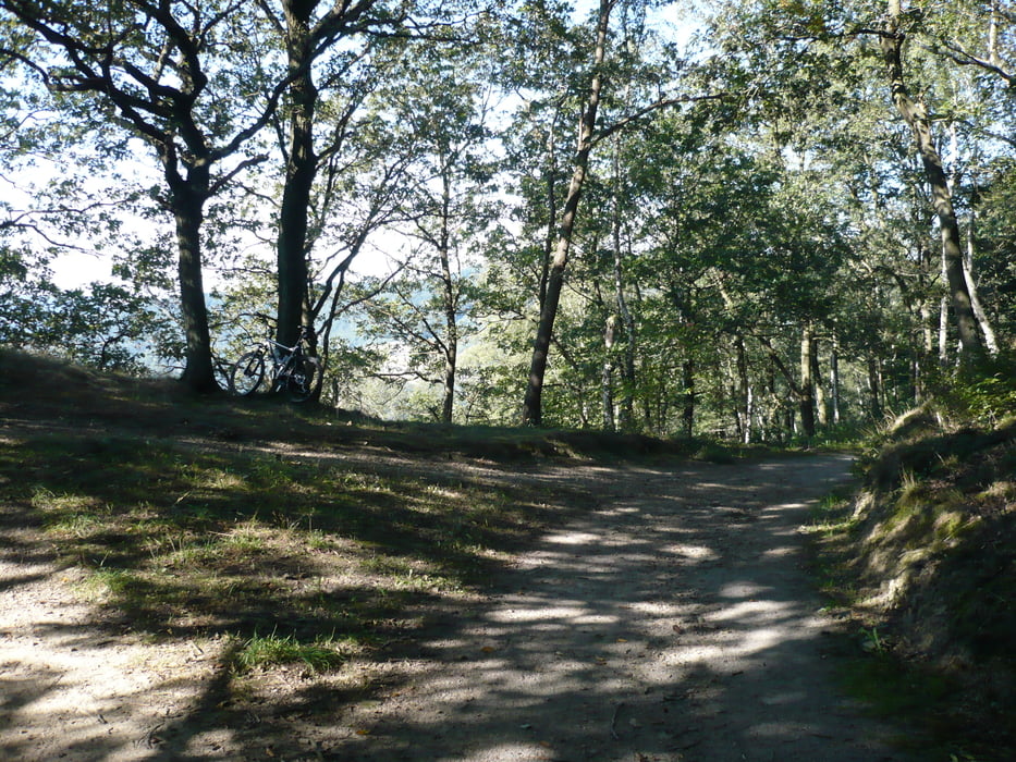

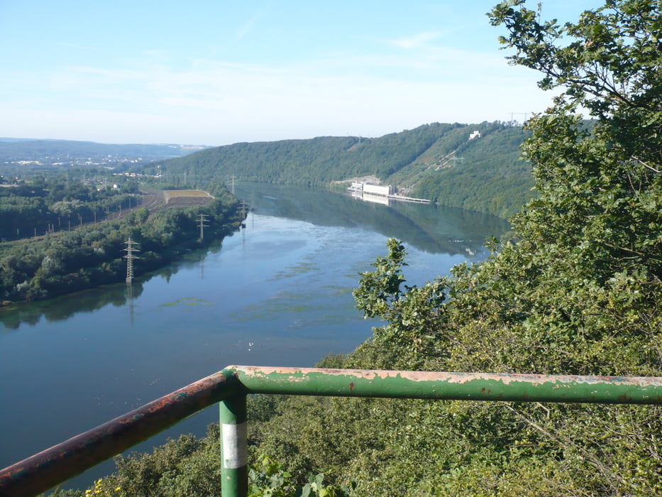
Eine wirklich schöne Tour vom Dortmunder Süden zunächst mit Anstieg Richtung Hohensyburg. Du bleibst auf der nördlichen Ruhrhöhe Richtung Wetter. Am Gut Schede (herrlicher Blick über das Ruhrtal) Abstieg nach Wetter, dann Aufstieg auf den südlichen Höhenzug. Weiter nach Witten und dann bergauf nach Herdecke. Ich habe die vorbekannte Tour abgeändert und nicht mehr an Hengstey und Harkortsee entlanggeführt (wegen Überfüllung am Wochenden und weil anspruchsvoller). Geht überwiegend durch Wald oder über kleinere Wege.
galéria trás


Mapa trasy a výškový profil
Minimum height 85 m
Maximum height 283 m
More about the tour author

|
r-arens |
komentáre
Parkplatz Augustinum, Kirchhörder Str 101, 44229 Dortmund
über B 54 Abfahrt Dortmund Kirchhörde zu erreichen
GPS trasy
Trackpoints-
GPX / Garmin Map Source (gpx) download
-
TCX / Garmin Training Center® (tcx) download
-
CRS / Garmin Training Center® (crs) download
-
Google Earth (kml) download
-
G7ToWin (g7t) download
-
TTQV (trk) download
-
Overlay (ovl) download
-
Fugawi (txt) download
-
Kompass (DAV) Track (tk) download
-
list trasy (pdf) download
-
Original file of the author (gpx) download
More about the tour author
|
|
r-arens |
Add to my favorites
Remove from my favorites
Edit tags
Open track
My score
Rate
Ruhrhöhen - Dortmund - Witten - Wetter
Konditionell mittel.