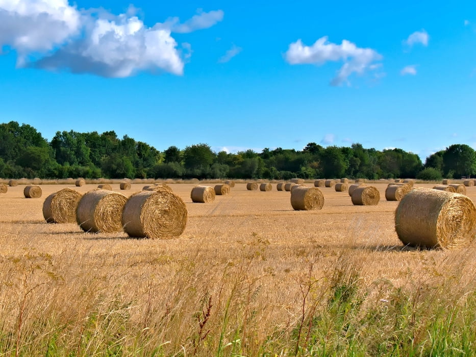
Einfacher Runde ohne Anstiege durch die landschaftlich schöne Bückeburger Niederung mit der Chance Störche, Gänse, Milane, Bussarde und viele andere Vögel und manchmal sogar Kraniche zu sehen.
galéria trás
Mapa trasy a výškový profil
Minimum height 46 m
Maximum height 51 m
komentáre

GPS trasy
Trackpoints-
GPX / Garmin Map Source (gpx) download
-
TCX / Garmin Training Center® (tcx) download
-
CRS / Garmin Training Center® (crs) download
-
Google Earth (kml) download
-
G7ToWin (g7t) download
-
TTQV (trk) download
-
Overlay (ovl) download
-
Fugawi (txt) download
-
Kompass (DAV) Track (tk) download
-
list trasy (pdf) download
-
Original file of the author (gpx) download
Add to my favorites
Remove from my favorites
Edit tags
Open track
My score
Rate


