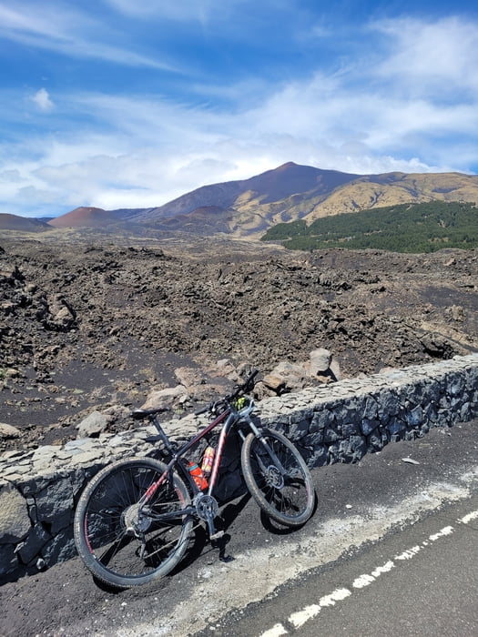
Krožna pot z lepimi razgledi. Vzpon po manj prometni cesti in spust po bolj razgledni cesti.
A circular route with beautiful views. Ascent on a road with less traffic and descent on a more scenic road.
galéria trás
Mapa trasy a výškový profil
Minimum height 767 m
Maximum height 1955 m
komentáre

Začetek iz parkirnega mesta v kraju Nicolasi. Parking je gratis.
Start from the parking lot in Nicolasi. Parking is free.
GPS trasy
Trackpoints-
GPX / Garmin Map Source (gpx) download
-
TCX / Garmin Training Center® (tcx) download
-
CRS / Garmin Training Center® (crs) download
-
Google Earth (kml) download
-
G7ToWin (g7t) download
-
TTQV (trk) download
-
Overlay (ovl) download
-
Fugawi (txt) download
-
Kompass (DAV) Track (tk) download
-
list trasy (pdf) download
-
Original file of the author (gpx) download
Add to my favorites
Remove from my favorites
Edit tags
Open track
My score
Rate


