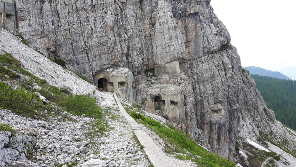
Vom Parkplatz am Kreuzbergpass geht beim Lift links ein Forstweg hinauf zum Rif. Italo Lunelli a.Selvapiana 1.568m, danach geht es auf einer teilweise schon sehr zerfallenen Militärstraße hinauf zum Cima dei Colesei 1.972m zum Bunker. Gleichen Weg bis kurz vor dem Cima dei Colesei hinunter, dann links weg auf einen Single Trail bis zum Hotel Kreuzberg runter.
Je nach Kondition und Fahrtechnik sind einige kurzen Passagen eventuell zu schieben.
galéria trás
Mapa trasy a výškový profil
Minimum height 1367 m
Maximum height 2031 m
komentáre

Grenzübergang Silian, danach bei Innichen ins Sextener Tal die Fahrstraße bis zum Kreuzbergpass.
GPS trasy
Trackpoints-
GPX / Garmin Map Source (gpx) download
-
TCX / Garmin Training Center® (tcx) download
-
CRS / Garmin Training Center® (crs) download
-
Google Earth (kml) download
-
G7ToWin (g7t) download
-
TTQV (trk) download
-
Overlay (ovl) download
-
Fugawi (txt) download
-
Kompass (DAV) Track (tk) download
-
list trasy (pdf) download
-
Original file of the author (gpx) download
Add to my favorites
Remove from my favorites
Edit tags
Open track
My score
Rate

