Login

Zabudli ste prihlasovacia meno

Cookies have to be accepted!
Your browser's cookie functionality is disabled. Please enable this functionality.

Not a member yet?

Register now
Login

Available for registred users only

Log in to use this feature.

Zabudli ste prihlasovacia meno

Cookies have to be accepted!
Your browser's cookie functionality is disabled. Please enable this functionality.

Not a member yet?

Register now
Filter
Kategórie
Advanced filters
  • Dĺžka (km)
  • výškomer
Uložiť filter Reset filter

TrackRank

QRCode

Technical data

Dĺžka56,8 km výškomer1247 m Way down1143 m Doba04:35 h:m dátum11.09.2023
ohodnotenia Author Kraj pôžitok z túry kondícia technika

štatistika

242 náhľady ohodnotenia 8 Stiahnutia priemer
Rate
  • list trasy
  • príjazd
  • Stiahnutia
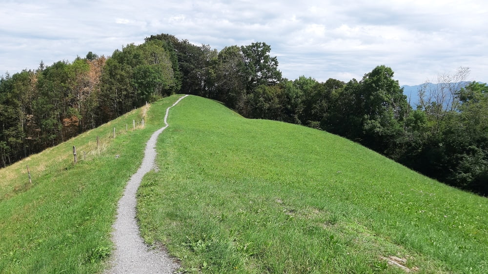
Schöne Frühjahrsrunde im Hochsommer: maximale Höhe ca. 1100m. Einige trails haben es in sich, besonders von St. Anton runter.

galéria trás

Mapa trasy a výškový profil

  • Open Street Map
  • Google
Minimum height 362 m Maximum height 1127 m Detailný pohľad

More about the tour author

mitter
Member since 2008

Send private message

komentáre

Start in Koblach.

GPS trasy

Trackpoints
  • GPX / Garmin Map Source (gpx) download
  • TCX / Garmin Training Center® (tcx) download
  • CRS / Garmin Training Center® (crs) download
  • Google Earth (kml) download
  • G7ToWin (g7t) download
  • TTQV (trk) download
  • Overlay (ovl) download
  • Fugawi (txt) download
  • Kompass (DAV) Track (tk) download
  • list trasy (pdf) download
  • Original file of the author (gpx) download

More about the tour author

mitter
Member since 2008

Send private message
Share track
Add to my favorites
Remove from my favorites
Edit tags
My score
Rate
trasa: Panoramabike 230731
Druh: horský bicykel
Dĺžka: 56,8 km
Evaluated on:
Doba:
Day(s)
Hour(s)
Minute(s)
ohodnotenie: Kraj pôžitok z túry kondícia technika