Login

Zabudli ste prihlasovacia meno

Cookies have to be accepted!
Your browser's cookie functionality is disabled. Please enable this functionality.

Not a member yet?

Register now
Login

Available for registred users only

Log in to use this feature.

Zabudli ste prihlasovacia meno

Cookies have to be accepted!
Your browser's cookie functionality is disabled. Please enable this functionality.

Not a member yet?

Register now
Filter
Kategórie
Advanced filters
  • Dĺžka (km)
  • výškomer
Uložiť filter Reset filter

TrackRank

QRCode

Technical data

Dĺžka44,2 km výškomer1159 m Way down m Doba03:45 h:m dátum05.07.2008
ohodnotenia Author Kraj pôžitok z túry kondícia technika

štatistika

2364 náhľady ohodnotenia 734 Stiahnutia priemer
Rate
  • list trasy
  • príjazd
  • Stiahnutia

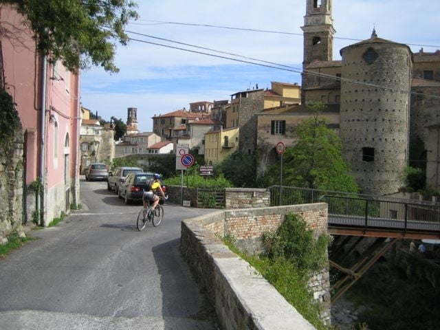
Startpunkt ist Dolcedo. Du verlässt den Ort südlich in Richtung Imperia. Dann geht es bei einer Y-Kreuzung scharf links und von da ab immer bergauf. Am Ende des Örtchens Vasia zweigt eine kleine Straße rechts ab, die weiter bergauf bis zu einem Sattel mit einer weißen Kapelle führt. Dort oben sind Almen und man kann in alle Richtungen weit sehen. Nördlich die Gletscher der Alpen, südlich das blaue Mittelmeer der Riviera. Dann geht es hinuter, bis kurz vor Lucinasco. Wir biegen links ab, fahren eine längere Querung und kommen schließlich wieder auf Höhe von San Sebastiano auf eine Passstraße, der wir wiederum links bergauf folgen. Vorbei an Ville San Pietro geht es wieder hinauf bis wir an einer Kreuzung links abbiegen um auf einem Sattel südlich zu queren. Nun folgt die Abfahrt durch viele Serpentinen und kleine Ortschaften bis hinunter nach Dolcedo.


galéria trás

Mapa trasy a výškový profil

  • Open Street Map
  • Google
Minimum height 82 m Maximum height 842 m Detailný pohľad

More about the tour author

Telebike
Member since 2008

Send private message

komentáre

Von Imperia, nach Dolcedo, dort einfach Parkplatz suchen und ab ...

GPS trasy

Trackpoints
  • GPX / Garmin Map Source (gpx) download
  • TCX / Garmin Training Center® (tcx) download
  • CRS / Garmin Training Center® (crs) download
  • Google Earth (kml) download
  • G7ToWin (g7t) download
  • TTQV (trk) download
  • Overlay (ovl) download
  • Fugawi (txt) download
  • Kompass (DAV) Track (tk) download
  • list trasy (pdf) download
  • Original file of the author (gpx) download

More about the tour author

Telebike
Member since 2008

Send private message
Share track
Add to my favorites
Remove from my favorites
Edit tags
My score
Rate
trasa: Extra Vergine
Druh: horský bicykel
Dĺžka: 44,2 km
Evaluated on:
Doba:
Day(s)
Hour(s)
Minute(s)
ohodnotenie: Kraj pôžitok z túry kondícia technika