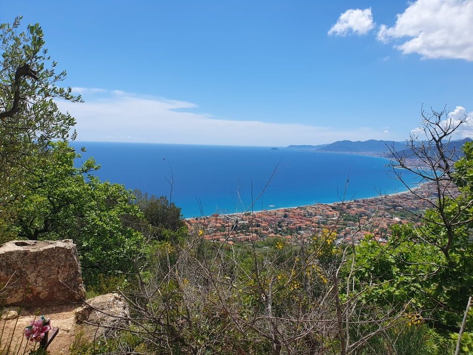
Schöne Tour aus Finale heraus bis zur Nato Base. Super Fernsichten, tolle Abfahrten, nette Menschen, gutes Essen und noch viel mehr.
Schöne schmale Wege für alle Level und für jeden etwas.
Meine Empfehlung.
galéria trás
Mapa trasy a výškový profil
Minimum height 12 m
Maximum height 1020 m
komentáre

Finale Ligure siehe Karte, Parken ist schwierig jedoch machbar, am besten Einheimische fragen die wissen was wo möglich ist.
GPS trasy
Trackpoints-
GPX / Garmin Map Source (gpx) download
-
TCX / Garmin Training Center® (tcx) download
-
CRS / Garmin Training Center® (crs) download
-
Google Earth (kml) download
-
G7ToWin (g7t) download
-
TTQV (trk) download
-
Overlay (ovl) download
-
Fugawi (txt) download
-
Kompass (DAV) Track (tk) download
-
list trasy (pdf) download
-
Original file of the author (gpx) download
Add to my favorites
Remove from my favorites
Edit tags
Open track
My score
Rate


