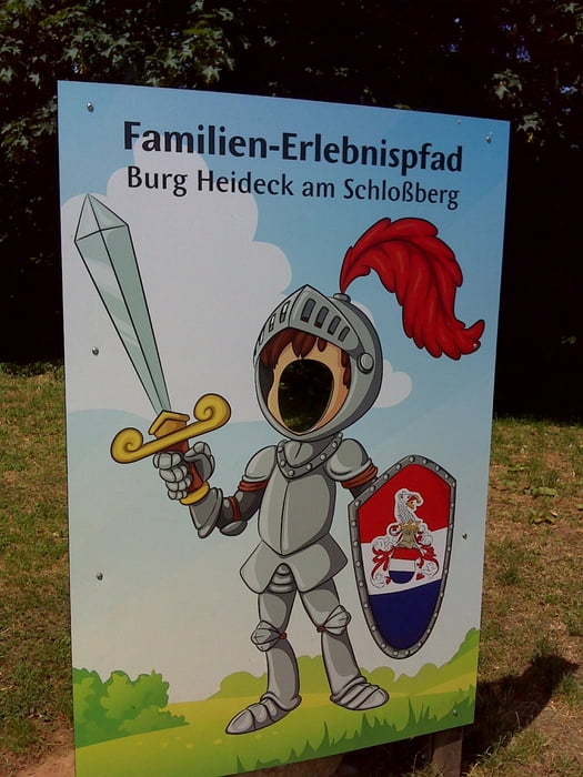
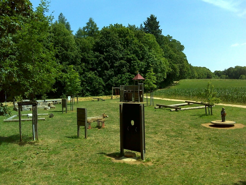
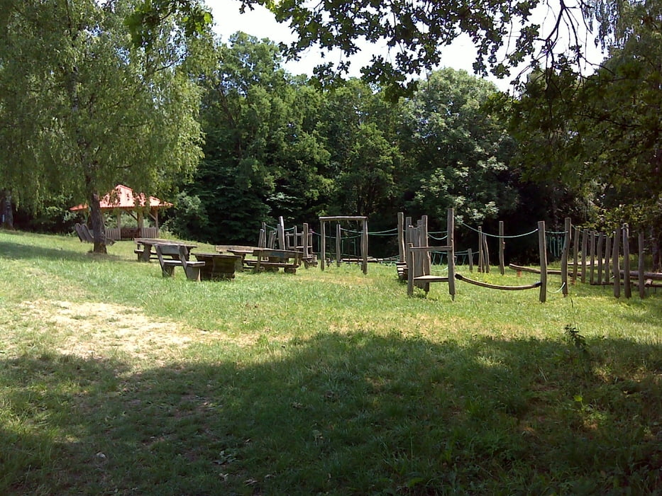
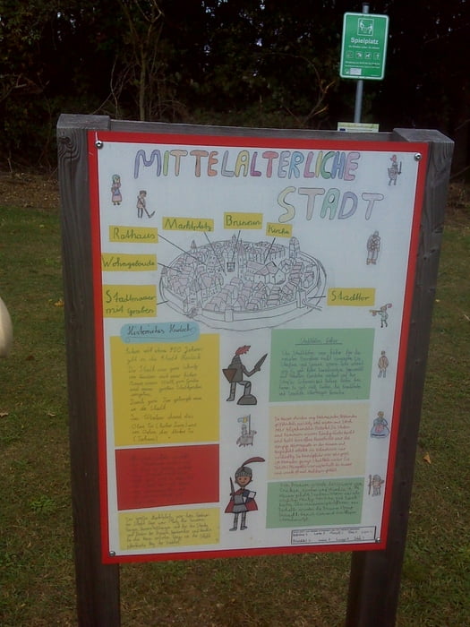
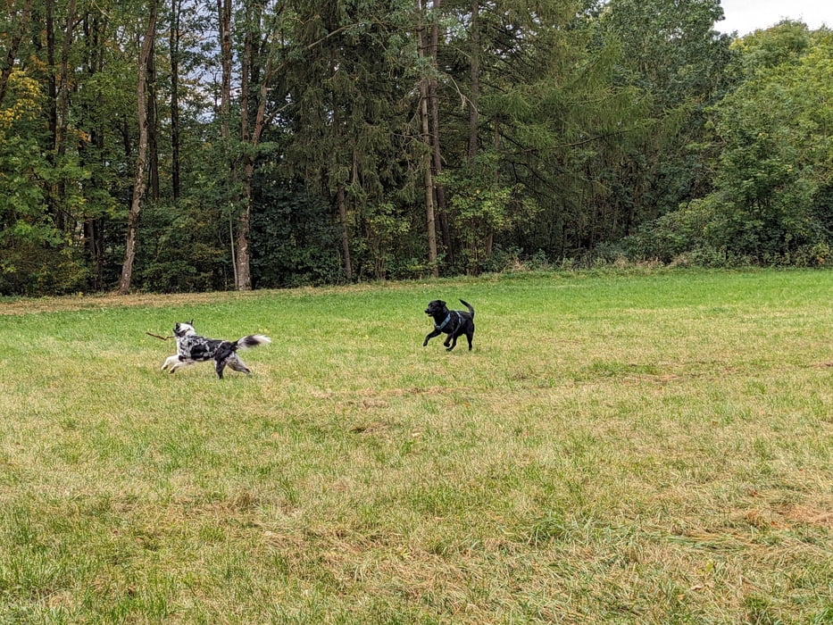
Die Burgrunde taucht in eine über tausendjährige Vergangenheit ein. Los geht es auf dem Parkplatz vom Schlossberg Heideck. Es gibt dort hoch oben eine Burganlage, einen Kletterpfad samt Unterstand und Beobachtungspunkte für Ritter. Die Wege sind im Fall der Fälle für mittelalterliche Kanonen fahrbar.
Further information at
https://t.me/Freedomdayteamgaléria trás
Mapa trasy a výškový profil
Minimum height 570 m
Maximum height 611 m
komentáre

Heideck liegt in der Bayerischen Kolonie Franken tief im Süden Deutschlands.
GPS trasy
Trackpoints-
GPX / Garmin Map Source (gpx) download
-
TCX / Garmin Training Center® (tcx) download
-
CRS / Garmin Training Center® (crs) download
-
Google Earth (kml) download
-
G7ToWin (g7t) download
-
TTQV (trk) download
-
Overlay (ovl) download
-
Fugawi (txt) download
-
Kompass (DAV) Track (tk) download
-
list trasy (pdf) download
-
Original file of the author (gpx) download
Add to my favorites
Remove from my favorites
Edit tags
Open track
My score
Rate

