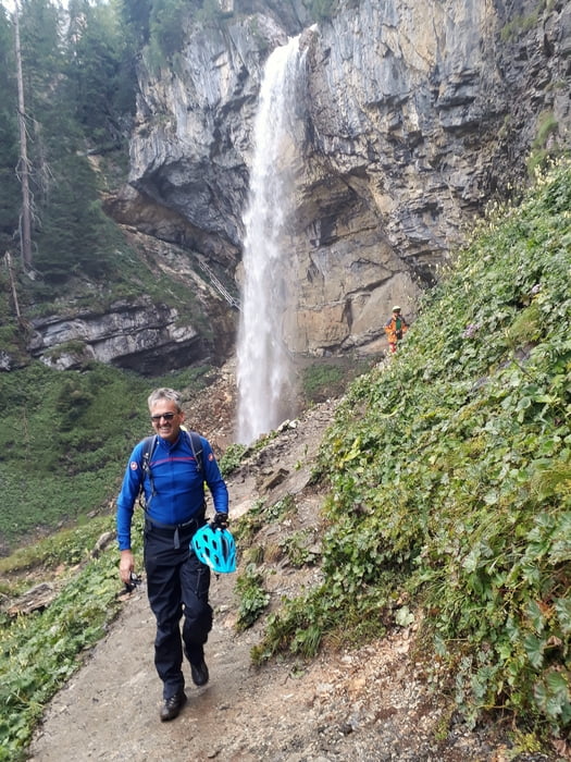
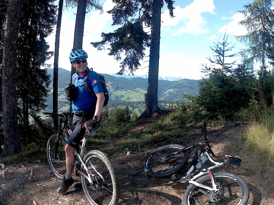
Über Nacht regnete es ausgiebig und die Abfahrt von Obertauern war leider sehr gatschig und überwiegend unfahrbar. Auf Radwegen und überwiegend asphaltieren Nebenstrassen über Sattelbauer und Grießkareck nach Wagrain. Der angelegte FlowTrail nach Wagrain ist schon recht ausgewaschen und durchaus eine fahrtechnische Herausforderung.
galéria trás
Mapa trasy a výškový profil
Minimum height 834 m
Maximum height 1753 m
komentáre

GPS trasy
Trackpoints-
GPX / Garmin Map Source (gpx) download
-
TCX / Garmin Training Center® (tcx) download
-
CRS / Garmin Training Center® (crs) download
-
Google Earth (kml) download
-
G7ToWin (g7t) download
-
TTQV (trk) download
-
Overlay (ovl) download
-
Fugawi (txt) download
-
Kompass (DAV) Track (tk) download
-
list trasy (pdf) download
-
Original file of the author (gpx) download
Add to my favorites
Remove from my favorites
Edit tags
Open track
My score
Rate


