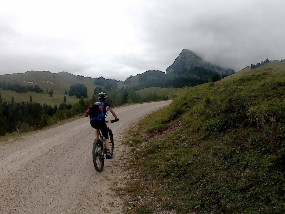
Tag 2 in der Dachsteinrunde. Fahrtechnisch einfach (Forststraßen) aber durchaus anstrengend mit steilen Rampen auf groben Schotter. Die Trailabfahrt nach Gosau Mittertal ist nicht zu empfehlen. Besser noch kurz auf der Forstrasse weiter und den neu hergerichteten Weg ins Vordertal wählen.
Mapa trasy a výškový profil
Minimum height 773 m
Maximum height 1472 m
komentáre

GPS trasy
Trackpoints-
GPX / Garmin Map Source (gpx) download
-
TCX / Garmin Training Center® (tcx) download
-
CRS / Garmin Training Center® (crs) download
-
Google Earth (kml) download
-
G7ToWin (g7t) download
-
TTQV (trk) download
-
Overlay (ovl) download
-
Fugawi (txt) download
-
Kompass (DAV) Track (tk) download
-
list trasy (pdf) download
-
Original file of the author (gpx) download
Add to my favorites
Remove from my favorites
Edit tags
Open track
My score
Rate


