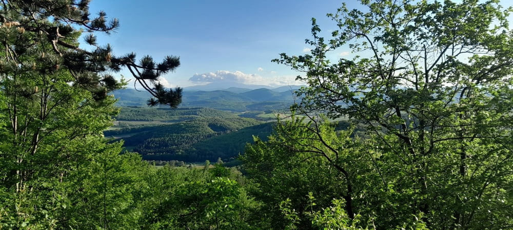
Die gesamte Strecke verläuft hauptsächlich auf MTB- Strecken, den Anninger hinunter auf dem Kiental Trail. https://www.wienerwald.info/a-kiental-trail-_schwer
Keine offizielle Strecke auf den Sulzberg.
Gaaden - Anninger Schutzhaus - Kiental Trail nach Hinterbrühl - Kuhheide Gießhübl - Sulzberg - Sulzer Höhe - Sulz - Heiligenkreuz - Siegenfeld
Further information at
https://www.wienerwald.info/a-kiental-trail-_schwerEinschränkungen
On this tour there is a cycling ban on 1 kilometers!
galéria trás
Mapa trasy a výškový profil
Minimum height 274 m
Maximum height 644 m
komentáre

Parkmöglichkeit in Gaaden, Am Schneiderbach
Einschränkungen
On this tour there is a cycling ban on 1 kilometers!
GPS trasy
Trackpoints-
GPX / Garmin Map Source (gpx) download
-
TCX / Garmin Training Center® (tcx) download
-
CRS / Garmin Training Center® (crs) download
-
Google Earth (kml) download
-
G7ToWin (g7t) download
-
TTQV (trk) download
-
Overlay (ovl) download
-
Fugawi (txt) download
-
Kompass (DAV) Track (tk) download
-
list trasy (pdf) download
-
Original file of the author (gpx) download
Add to my favorites
Remove from my favorites
Edit tags
Open track
My score
Rate


