


Start der Tour ist in Eisenstadt.
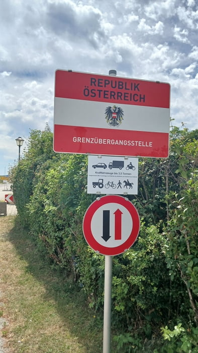
Die Strecke verläuft auf Radwege durch Trausdorf, Siegendorf, Klingenbach und Schattendorf (Staatsgrenze) nach Ágfalva.
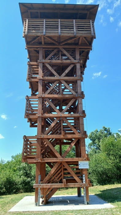
Ab Ágfalva durch das Ödenburger Gebirge (viel Asphalt) bis zur Karlshöhe.(Vom Parkplatz Karlshöhe bis zum Aussichtsturm ist ein Fahrverbot ca. 900m)
Von der Karlshöhe geht es auf einem Trail hinunter nach Sopron, und auf Radwege durch Fertőrákos, Mörbisch am See, Rust nach Oggau.
Von Oggau über den Goldberg nach Schützen/Geb. und zurück nach Eisenstadt.
Further information at
https://www2.gysev.hu/sites/default/files/media/documents/aktivan-sopron-ferto-de.pdfEinschränkungen
On this tour there is a cycling ban on 1 kilometers!
galéria trás
Mapa trasy a výškový profil
Minimum height 109 m
Maximum height 496 m
More about the tour author
|
|
kersti |
komentáre

Der Startpunkt befindet sich direkt bei der Autobahnabfahrt Eisenstadt Ost.
Einschränkungen
On this tour there is a cycling ban on 1 kilometers!
GPS trasy
Trackpoints-
GPX / Garmin Map Source (gpx) download
-
TCX / Garmin Training Center® (tcx) download
-
CRS / Garmin Training Center® (crs) download
-
Google Earth (kml) download
-
G7ToWin (g7t) download
-
TTQV (trk) download
-
Overlay (ovl) download
-
Fugawi (txt) download
-
Kompass (DAV) Track (tk) download
-
list trasy (pdf) download
-
Original file of the author (gpx) download
More about the tour author
|
|
kersti |
Add to my favorites
Remove from my favorites
Edit tags
Open track
My score
Rate