
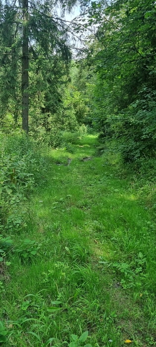

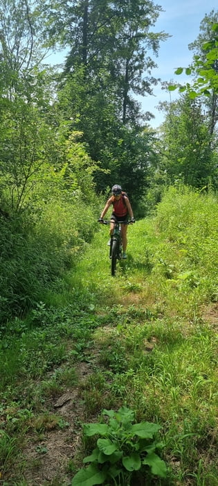
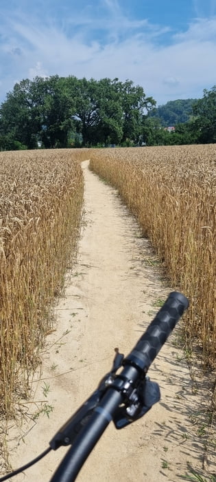
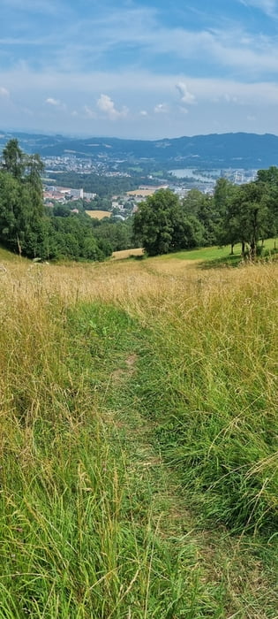
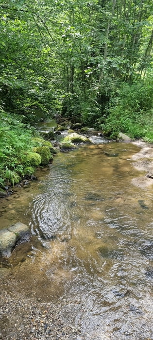
Abwechslungsreiche Tour mit Start/Ziel bei der Fähre in Ottensheim. Über die Streuobstwiesen und Au weiter zum Kraftwerk auf die andere Seite der Donau. Schon bald geht's in den Kürnbergwald. Über Wiesenwege und wenig Asphalt zum Freinberg. Runter auf den Hauptplatz und über die Nibelungenbrücke nach Urfahr zum Petrinum. Von dort ein knackiger Anstieg über die Moarwiese zum Pöstlingberg. Weiter zur Koglerau (wegen Fahrverbot kurze Schiebepassage auf der Forststraße). Koglerauspitz kann mit einbezogen werden. Empfehlung zur Einkehr in den https://www.koeglerhof.at/. Runter zum Bleicherbach und über dessen Tal retour nach Ottensheim. Wenig Asphalt und viel Freude.
Einschränkungen
On this tour there is a cycling ban on 0.3 kilometers!
galéria trás
Mapa trasy a výškový profil
Minimum height 195 m
Maximum height 565 m
More about the tour author
|
|
vitalturn |
komentáre

Einschränkungen
On this tour there is a cycling ban on 0.3 kilometers!
GPS trasy
Trackpoints-
GPX / Garmin Map Source (gpx) download
-
TCX / Garmin Training Center® (tcx) download
-
CRS / Garmin Training Center® (crs) download
-
Google Earth (kml) download
-
G7ToWin (g7t) download
-
TTQV (trk) download
-
Overlay (ovl) download
-
Fugawi (txt) download
-
Kompass (DAV) Track (tk) download
-
list trasy (pdf) download
-
Original file of the author (gpx) download
More about the tour author
|
|
vitalturn |
Add to my favorites
Remove from my favorites
Edit tags
Open track
My score
Rate