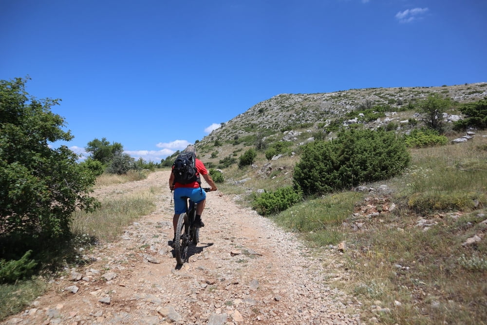
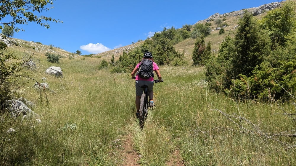
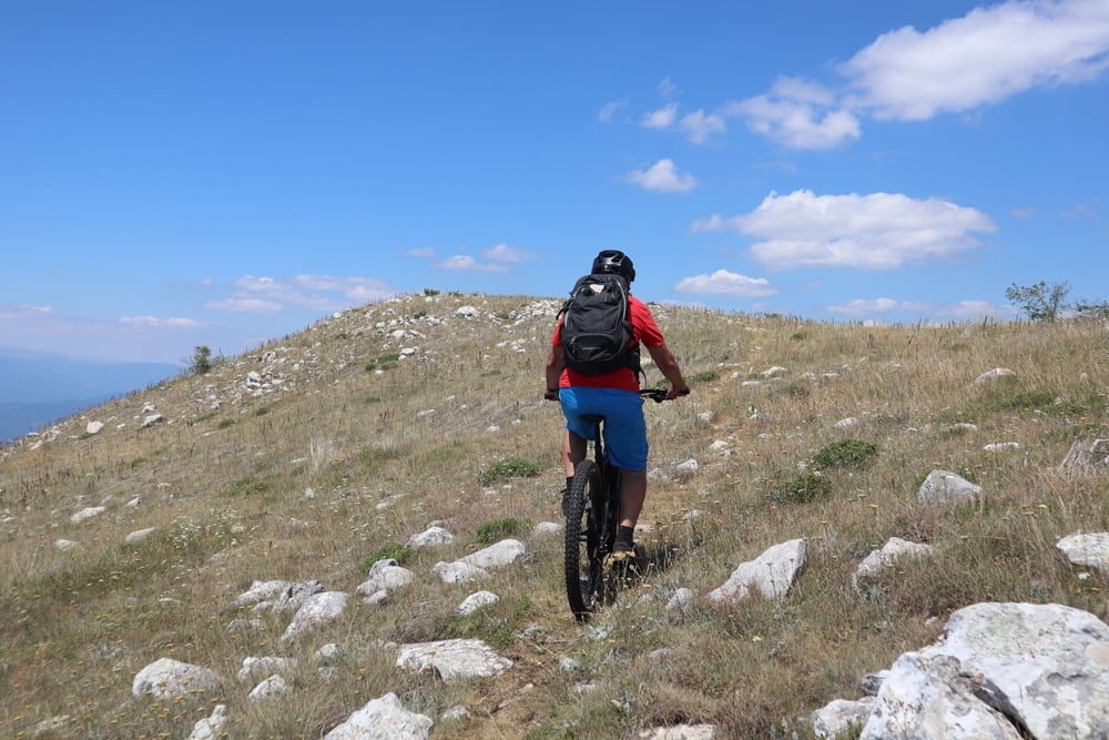
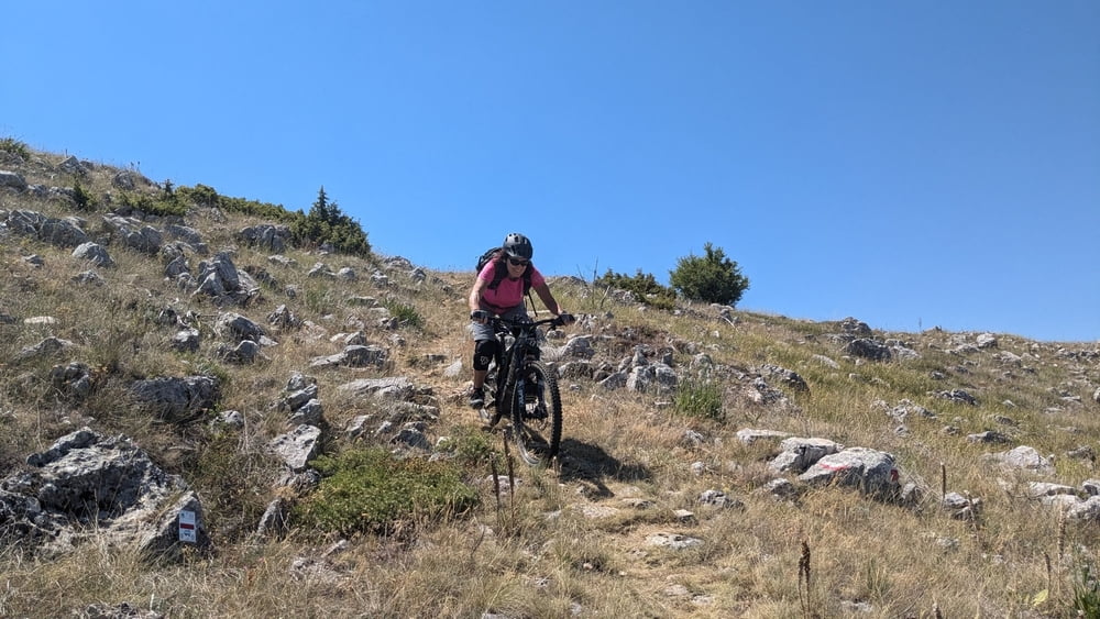
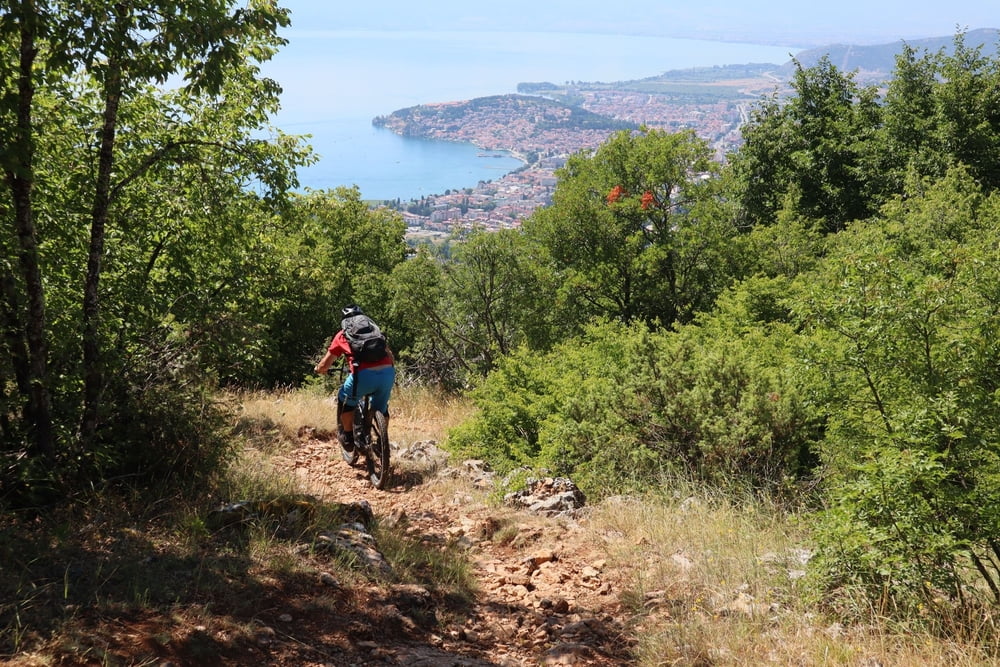
Beautifull tour above Ohrid. Uphill is a little bit difficult due to rocks on the path. In the upper part we pushed bikes few ten meters. Downhill is 50% S0, 40% S1, and maybe 10%S2.
Einschränkungen
This tour has a carry or push section on 0.2 kilometers
galéria trás
Mapa trasy a výškový profil
Minimum height 689 m
Maximum height 1639 m
komentáre

Einschränkungen
This tour has a carry or push section on 0.2 kilometers
GPS trasy
Trackpoints-
GPX / Garmin Map Source (gpx) download
-
TCX / Garmin Training Center® (tcx) download
-
CRS / Garmin Training Center® (crs) download
-
Google Earth (kml) download
-
G7ToWin (g7t) download
-
TTQV (trk) download
-
Overlay (ovl) download
-
Fugawi (txt) download
-
Kompass (DAV) Track (tk) download
-
list trasy (pdf) download
-
Original file of the author (gpx) download
Add to my favorites
Remove from my favorites
Edit tags
Open track
My score
Rate

