


Koblach-Klaus-Fraxern-Kugelalpe-Hohe Kugel-Kugelalpe-Viktorsberg-Weiler-Klaus- Koblach
Zunächst angenehme Steigung auf Teer bis Fraxern und noch bis zum Fußballplatz, Dann guter Schotter bis zur Kugelalpe. Gutes Pilzragout gegessen!
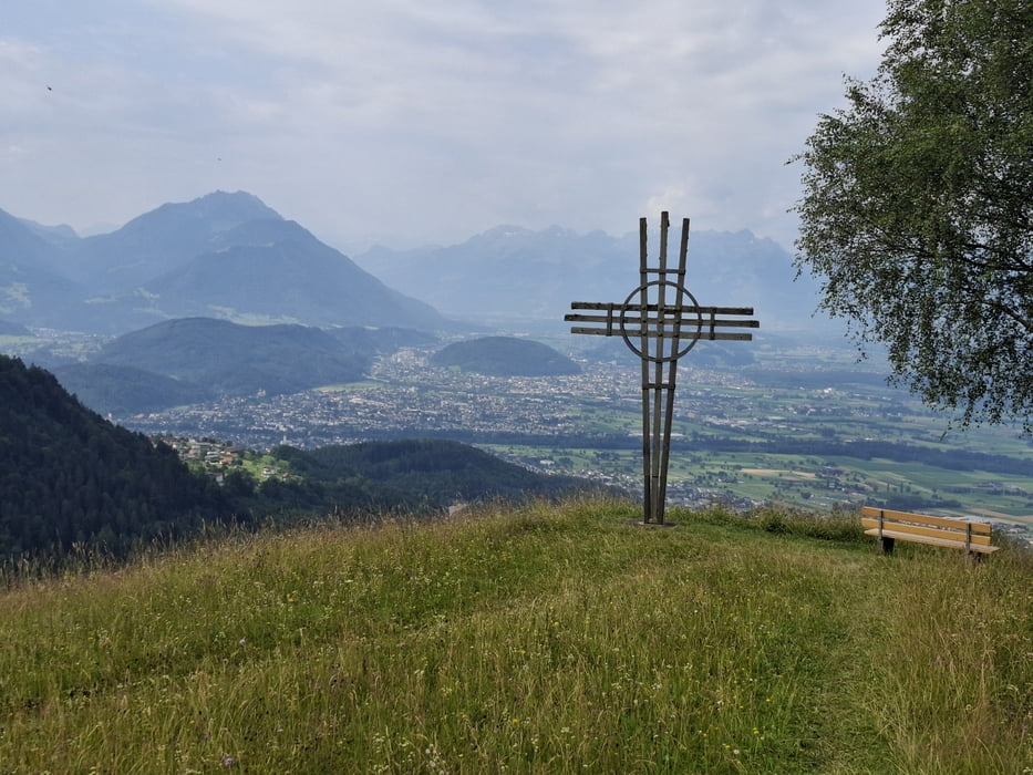
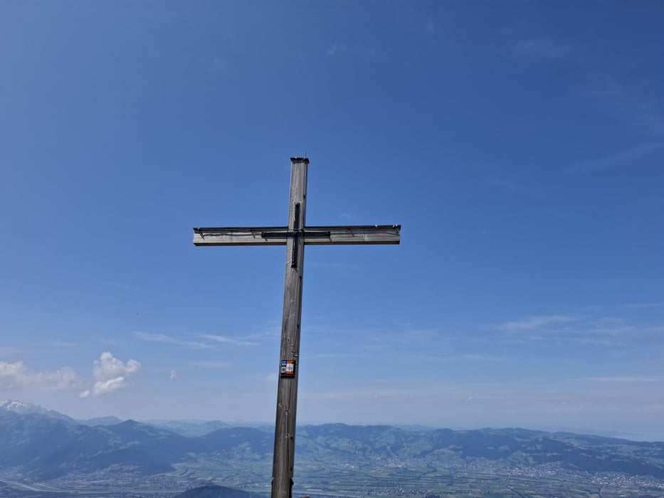
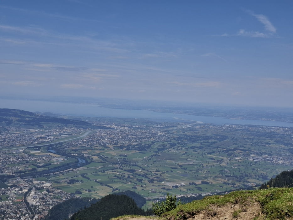
Von da bin ich noch zu Fuß die ca 100hm rauf zur Hohen Kugel gegangen und hab die großartige Rundumsicht genossen. Ua. zu Bodensee, wo der Rheinzufluss farblich klar zu erkennen ist.
Retour bin ich nach Viktorsberg abgefahren. Durchaus guter Schotter, ein paar kleine Gegenanstiege.
Schöne Runde auf den Aussichtsberg!
galéria trás
Mapa trasy a výškový profil
Minimum height 393 m
Maximum height 1646 m
More about the tour author
|
|
mitter |
komentáre

Start und Ziel in Koblach.
GPS trasy
Trackpoints-
GPX / Garmin Map Source (gpx) download
-
TCX / Garmin Training Center® (tcx) download
-
CRS / Garmin Training Center® (crs) download
-
Google Earth (kml) download
-
G7ToWin (g7t) download
-
TTQV (trk) download
-
Overlay (ovl) download
-
Fugawi (txt) download
-
Kompass (DAV) Track (tk) download
-
list trasy (pdf) download
-
Original file of the author (gpx) download
More about the tour author
|
|
mitter |
Add to my favorites
Remove from my favorites
Edit tags
Open track
My score
Rate