Login

Zabudli ste prihlasovacia meno

Cookies have to be accepted!
Your browser's cookie functionality is disabled. Please enable this functionality.

Not a member yet?

Register now
Login

Available for registred users only

Log in to use this feature.

Zabudli ste prihlasovacia meno

Cookies have to be accepted!
Your browser's cookie functionality is disabled. Please enable this functionality.

Not a member yet?

Register now
Filter
Kategórie
Advanced filters
  • Dĺžka (km)
  • výškomer
Uložiť filter Reset filter

TrackRank

QRCode

Technical data

Dĺžka8,0 km výškomer640 m Way down615 m Doba04:05 h:m dátum26.01.2025
ohodnotenia Author Kraj pôžitok z túry kondícia technika

štatistika

97 náhľady ohodnotenia 0 Stiahnutia priemer
Rate
  • list trasy
  • príjazd
  • Stiahnutia

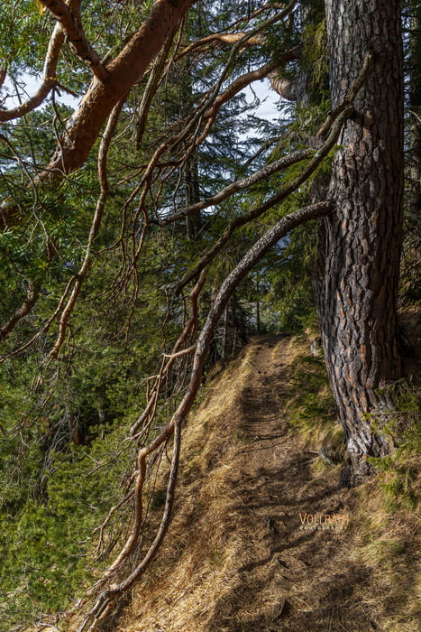
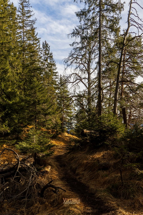
Die Tour verläuft weitestgehends im Schatten hinauf durch den Bergwald. Der Auf- als auch der Abstiegsweg sind identisch. Die Tour hat eine südseitige Ausrichtung und trotz des schattigen Verlaufs dürfte es hier während des Aufstiegs im Sommer recht warm werden. Heute am 25.01.2025 ist es trocken bei sehr angenehmen 14°C im Schatten.

Es sind hier auch schon einige Leute unterwegs... Der Trail hat auffallend viele Wurzeln ist aber unspektakulär und den erfahrenden Wanderer erwarten hier keine nennenswerten Schwierigkeiten.

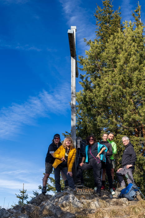
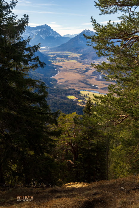
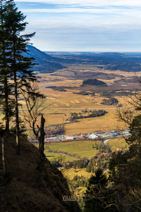
In Sachen Panorama und Aussicht kommt man vor allem direkt am Gipfel des Osterfeuerkopfes (1336m) voll auf seine Kosten. Wer möchte geht noch ein kurzes Stück weiter zum Gipfel der Osterfeuerspitze (1368m).

Da es heute wieder einmal viel zu warm ist für diese Jahreszeit möchte man meinen es wäre ein warmer Herbsttag - Ende Januar...

Further information at

https://www.vollrath-photography.de/

galéria trás

Mapa trasy a výškový profil

  • Open Street Map
  • Google
Minimum height 661 m Maximum height 1307 m Detailný pohľad

More about the tour author

Pointer
Member since 2008

Send private message

komentáre

Von Augsburg kommend via B17, B23, B2 zum Parkplatz Osterfeuerkopf bei Eschenlohe (120km, 1,40 Std.). Der Parkplatz kostet ganztags 5,- € in Münzen oder mit Karte.

GPS trasy

Trackpoints
  • GPX / Garmin Map Source (gpx) download
  • TCX / Garmin Training Center® (tcx) download
  • CRS / Garmin Training Center® (crs) download
  • Google Earth (kml) download
  • G7ToWin (g7t) download
  • TTQV (trk) download
  • Overlay (ovl) download
  • Fugawi (txt) download
  • Kompass (DAV) Track (tk) download
  • list trasy (pdf) download
  • Original file of the author (gpx) download

More about the tour author

Pointer
Member since 2008

Send private message
Share track
Add to my favorites
Remove from my favorites
Edit tags
My score
Rate
trasa: Bayerische Alpen: Aufstieg zum Osterfeuerkopf
Druh: horská trasa
Dĺžka: 8,0 km
Evaluated on:
Doba:
Day(s)
Hour(s)
Minute(s)
ohodnotenie: Kraj pôžitok z túry kondícia technika