Login

Zabudli ste prihlasovacia meno

Cookies have to be accepted!
Your browser's cookie functionality is disabled. Please enable this functionality.

Not a member yet?

Register now
Login

Available for registred users only

Log in to use this feature.

Zabudli ste prihlasovacia meno

Cookies have to be accepted!
Your browser's cookie functionality is disabled. Please enable this functionality.

Not a member yet?

Register now
Filter
Kategórie
Advanced filters
  • Dĺžka (km)
  • výškomer
Uložiť filter Reset filter

TrackRank

QRCode

Technical data

Dĺžka32,2 km výškomer769 m Way down761 m Doba02:30 h:m dátum14.07.2008
ohodnotenia Author User Kraj pôžitok z túry kondícia technika

štatistika

1829 náhľady 4 ohodnotenia 354 Stiahnutia 3.00 priemer
Rate
  • list trasy
  • príjazd
  • Stiahnutia

Sehr schöne Tour. Es sind zwei schöne Abfahrten dabei. ;)

Viel Spaß beim Rocken.


Mapa trasy a výškový profil

  • Open Street Map
  • Google
Minimum height 281 m Maximum height 553 m Detailný pohľad

More about the tour author

quest3581
Member since 2008

Send private message

komentáre

rossifumi on 12.08.2008

schöne Tour

Hallo,

ist echt ne schöne Tour besonders die lange letzte Trailabfahrt ist echt geil.

Danke für die Tour.

Gruß
Rossifumi

PS: ...die Tour fährt man im Uhrzeigersinn..., könntest noch in die Beschreibung einfügen
hlmkatze on 12.09.2008

sehr schöne Tour
steile Aufstiege
Abwechslungsreich
Note 2
DonSegafredo on 01.11.2013

schöne Tour

An ein paar wenigen Stellen sind die Wege schon ein bisschen zugewuchert (wahrscheinlich nicht mehr forstwirtschaftlich genutzt). Insbesondere kurz vor Wichsenstein im Wald führt einen das GPS durch ein merkwürdiges verwildertes Waldgrundstück mit ein paar Schuppen und Gerümpel - würde sich exzellent als Drehort für einen Psychothriller eignen ;)

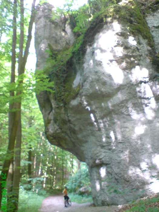
A73 Erlangen -Bamberg Ausfahrt Forchheim Süd.

Dann Richtung Ebermannstadt fahren und die Beschilderung bis Kirchehrenbach folgen. ca.5km

Die Tour startet beim Friedhof in Kirchehrenbach.


GPS trasy

Trackpoints
  • GPX / Garmin Map Source (gpx) download
  • TCX / Garmin Training Center® (tcx) download
  • CRS / Garmin Training Center® (crs) download
  • Google Earth (kml) download
  • G7ToWin (g7t) download
  • TTQV (trk) download
  • Overlay (ovl) download
  • Fugawi (txt) download
  • Kompass (DAV) Track (tk) download
  • list trasy (pdf) download
  • Original file of the author (gpx) download

More about the tour author

quest3581
Member since 2008

Send private message
Share track
Add to my favorites
Remove from my favorites
Edit tags
My score
Rate
trasa: Kirchehrenbach-Wichsenstein-Reisberg
Druh: horský bicykel
Dĺžka: 32,2 km
Evaluated on:
Doba:
Day(s)
Hour(s)
Minute(s)
ohodnotenie: Kraj pôžitok z túry kondícia technika