Login

Zabudli ste prihlasovacia meno

Cookies have to be accepted!
Your browser's cookie functionality is disabled. Please enable this functionality.

Not a member yet?

Register now
Login

Available for registred users only

Log in to use this feature.

Zabudli ste prihlasovacia meno

Cookies have to be accepted!
Your browser's cookie functionality is disabled. Please enable this functionality.

Not a member yet?

Register now
Filter
Kategórie
Advanced filters
  • Dĺžka (km)
  • výškomer
Uložiť filter Reset filter

TrackRank

QRCode

Technical data

Dĺžka75,2 km výškomer2030 m Way down2195 m Doba06:00 h:m dátum19.07.2008
ohodnotenia Author Kraj pôžitok z túry kondícia technika

štatistika

1173 náhľady ohodnotenia 196 Stiahnutia priemer
Rate
  • list trasy
  • príjazd
  • Stiahnutia

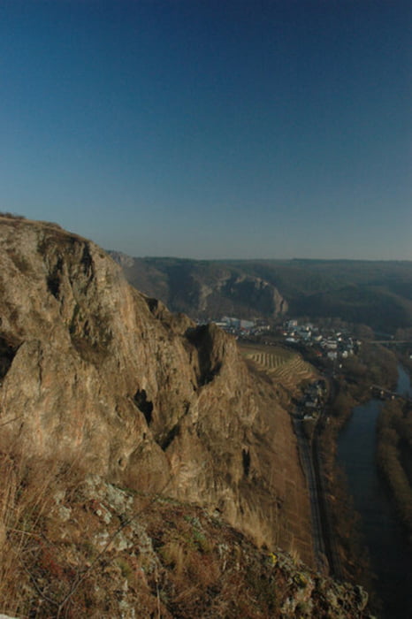
Tour über einige der Berge zwischen Bad Kreuznach und Bad Sobernheim. Fahrtechnisch leicht, allerdings auf Grund der Länge konditionell sehr anstrengend. Dabei verläuft die Streck zum Teil auf geteerten und unbefestigten Forst- und Waldwegen.

Es dürften ca. 1800-2000 hm sein und etwa 80 km.

Verlauf: Bad Kreuznach - Kuhberg - Altenbamberg - Hallgarten - Ruine Montfort - Neudorfer Hof - Odernheim - St. Antoniushof - Hühnerhof - Bad Sobernheim - Staudernheim - Waldböckelheim - Heimberg - Schloßböckelheim - (Niederhausen) - Norheim - Rotenfels - Bad Kreuznach

Mapa trasy a výškový profil

  • Open Street Map
  • Google
Minimum height 105 m Maximum height 391 m Detailný pohľad

More about the tour author

churchner74
Member since 2008

Send private message

komentáre

paradise lost on 28.09.2008

Hut ab

Die Tour hat mich in einige Ecken geführt die ich noch nicht kannte. Konditionell sehr anstrengend. Auf keinen Fall verpassen die Ruine Montfort zu besuchen (N49 45.923 E7 46.023)
Danke für die Tour

A61 Abfahrt KH

weiter auf B41, in Rechtskurve an der Ampel nach links abbiegen

Am Kreisel 2. Ausfahrt Richtung Innenstadt / Bad Münster-Ebernburg

Immer weiter halten in Richtung Bad Münster-Ebernburg.

Ortsausgang Bad Kreuznach, Parkplatz am Schwimmbad Salinental, etweder vor (zeitweise Gebührenpflichtig) oder hinter der Brücke (kostenfrei).

GPS trasy

Trackpoints
  • GPX / Garmin Map Source (gpx) download
  • TCX / Garmin Training Center® (tcx) download
  • CRS / Garmin Training Center® (crs) download
  • Google Earth (kml) download
  • G7ToWin (g7t) download
  • TTQV (trk) download
  • Overlay (ovl) download
  • Fugawi (txt) download
  • Kompass (DAV) Track (tk) download
  • list trasy (pdf) download
  • Original file of the author (gpx) download

More about the tour author

churchner74
Member since 2008

Send private message
Share track
Add to my favorites
Remove from my favorites
Edit tags
My score
Rate
trasa: Rund ums Herz des Nahetals
Druh: horský bicykel
Dĺžka: 75,2 km
Evaluated on:
Doba:
Day(s)
Hour(s)
Minute(s)
ohodnotenie: Kraj pôžitok z túry kondícia technika