


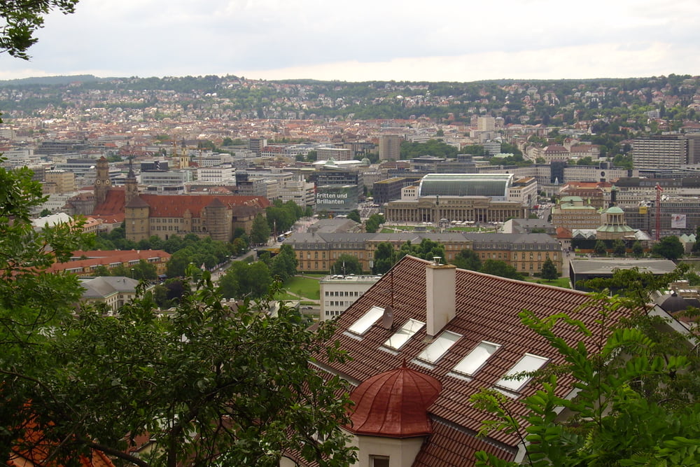
Start ist in Stuttgart am Hauptbahnhof und der Weg führt durch den Schloßpark Richtung Wilhelma, kurz vor dem Zoo geht es links weiter Richtung Pragsattel. Von dort weiter nach Feuerbach, Stammheim raus nach Ludwigsburg. Dann weiter nach Bietigheim-Bissingen und dann nach Sachsenheim. Von dort dann nach Horrheim, an dem See kann man sich ausruhen und eine runde schwimmen. Zurück folgen wir ein Stück dem Hinweg bevor wir in Sachsenheim diesmal weiter Richtung Markgröningen fahren. Dann geht es wieder über Feuerbach und dem Schloßpark nach Stuttgart. Zum Schluß haben wir noch einen Abstecher zum Herdweg gemacht.
Further information at
http://www.schloss-ludwigsburg.degaléria trás
Mapa trasy a výškový profil
Minimum height 183 m
Maximum height 351 m
More about the tour author
|
|
ccmskates |
komentáre

Am besten mit Zug nach Stuttgart fahren und dort dann die Tour starten. Wo man am besten mit dem Auto parken tut kann ich so nicht sagen da ich immer mit dem Zug anreise und kein Parkprobleme habe :-))) .
GPS trasy
Trackpoints-
GPX / Garmin Map Source (gpx) download
-
TCX / Garmin Training Center® (tcx) download
-
CRS / Garmin Training Center® (crs) download
-
Google Earth (kml) download
-
G7ToWin (g7t) download
-
TTQV (trk) download
-
Overlay (ovl) download
-
Fugawi (txt) download
-
Kompass (DAV) Track (tk) download
-
list trasy (pdf) download
-
Original file of the author (gpx) download
More about the tour author
|
|
ccmskates |
Add to my favorites
Remove from my favorites
Edit tags
Open track
My score
Rate