Login

Zabudli ste prihlasovacia meno

Cookies have to be accepted!
Your browser's cookie functionality is disabled. Please enable this functionality.

Not a member yet?

Register now
Login

Available for registred users only

Log in to use this feature.

Zabudli ste prihlasovacia meno

Cookies have to be accepted!
Your browser's cookie functionality is disabled. Please enable this functionality.

Not a member yet?

Register now
Filter
Kategórie
Advanced filters
  • Dĺžka (km)
  • výškomer
Uložiť filter Reset filter

TrackRank

QRCode

Technical data

Dĺžka141,0 km výškomer504 m Way down590 m Doba09:31 h:m dátum21.07.2008
ohodnotenia Author Kraj pôžitok z túry kondícia technika

štatistika

356 náhľady ohodnotenia 83 Stiahnutia priemer
Rate
  • list trasy
  • príjazd
  • Stiahnutia

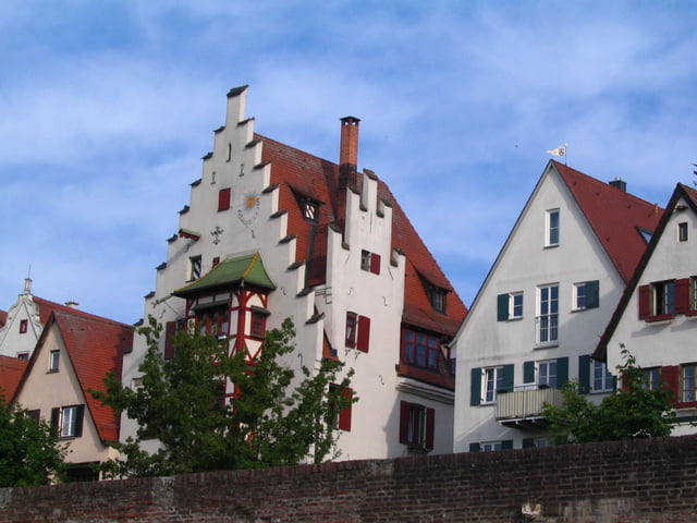
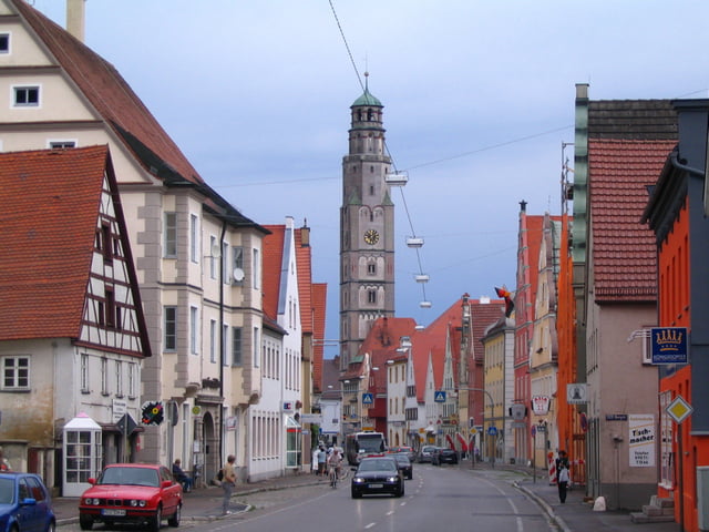
Von Donaustetten bis Unterelchingen (ca.11 Km nach Ulm) schöner Radweg, dann ist es besser nach A7 bis Weissingen auf der Strasse zu bleiben und nicht der Trackaufzeichnung folgen. Wurde in Günzburg von einen Unwetter überrascht und fuhr daher den Radweg neben der B16 bis Gundelfingen,  würde aber den Donauradweg empfehlen. Bis Donauwörth meist flach, der Rest bis Laisacker leicht hügelig.

galéria trás

Mapa trasy a výškový profil

  • Open Street Map
  • Google
Minimum height 389 m Maximum height 489 m Detailný pohľad

More about the tour author

izebor
Member since 2008

Send private message

komentáre

GPS trasy

Trackpoints
  • GPX / Garmin Map Source (gpx) download
  • TCX / Garmin Training Center® (tcx) download
  • CRS / Garmin Training Center® (crs) download
  • Google Earth (kml) download
  • G7ToWin (g7t) download
  • TTQV (trk) download
  • Overlay (ovl) download
  • Fugawi (txt) download
  • Kompass (DAV) Track (tk) download
  • list trasy (pdf) download
  • Original file of the author (gpx) download

More about the tour author

izebor
Member since 2008

Send private message
Share track
Add to my favorites
Remove from my favorites
Edit tags
My score
Rate
trasa: Von Donaustetten nach Laisacker bei Neuburg
Druh: trekingové bicykle
Dĺžka: 141,0 km
Evaluated on:
Doba:
Day(s)
Hour(s)
Minute(s)
ohodnotenie: Kraj pôžitok z túry kondícia technika