


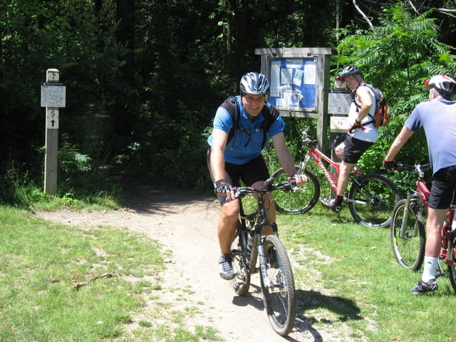
Der Trail ist Bestandteil des Pinckney State Parks. Er ist ein Single Track und wird im Uhrzeigersinn gefahren. Die Gesamtstrecke beträgt ca. 6 km - es gibt jedoch auch noch einige Möglichkeiten abzukürzen. Der Trail führt fast ausschließlich durch den Wald und hat einige kurze Anstiege mit Wurzeln und Steinen - insgesamt ist der Trail jedoch einfach zu fahren.
Landschaftlich bekommt man schon was zu sehen. Es geht um einen See herum und man fährt über einige Brücken, die über Sumpfgebiete führen.
Viel Spaß bei dem tollen Trail wünscht HvdH
PS. Nach Aktivierung des Links bekommt man auf die Seite für den Potawatome Trail mit einer ausführliche Beschreibung. Nach dem Anklicken des Links "MAPS" (auf der rechten Seite) gelangt man zu einem detaillierten Trailplan mit allen Touren,Further information at
http://www.mmba.org/trails.php?trail=17galéria trás


Mapa trasy a výškový profil
Minimum height 270 m
Maximum height 302 m
More about the tour author
|
|
HvdH |
komentáre

Ausgehend von der US 23 aus beiden Richtungen kommend bis zur Ausfahrt (Exit 49) North Terretorial.
Von hier auf der North Terretorial Richtung Westen. Rechts einbiegen in die Hankerd Road und dann links in den Pinckney State Park einbiegen.
GPS trasy
Trackpoints-
GPX / Garmin Map Source (gpx) download
-
TCX / Garmin Training Center® (tcx) download
-
CRS / Garmin Training Center® (crs) download
-
Google Earth (kml) download
-
G7ToWin (g7t) download
-
TTQV (trk) download
-
Overlay (ovl) download
-
Fugawi (txt) download
-
Kompass (DAV) Track (tk) download
-
list trasy (pdf) download
-
Original file of the author (gpx) download
More about the tour author
|
|
HvdH |
Add to my favorites
Remove from my favorites
Edit tags
Open track
My score
Rate