


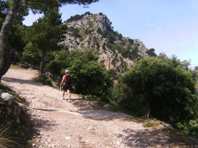
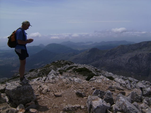
Mit dem Leihauto fährt man auf der Küstenstraße C710 von Andratx bzw. Peguera oder Santa Ponca Richtung Soller. Genau bei Straßenkilometer 97,0 beginnt der Weg und führt abwechslungsreich, zuletzt durch Felsen auf den westlichsten Tausender Mallorcas. Sicht bis Pic Major (1447m) und nach Palma. Abstig zunächst auf gleichem Weg, dann Abzweig nach rechts und in schönem Steineichenwald zurück zum Auto. Ich habe absichtlich auf eine genaue Tourenbeschreibung verzichtet. Der Weg ist mit GPS leicht und auch ohne diesem Gerät gut zu finden, er ist an den Abzweigungen beschildert.
Leihautos sind in Malle sehr günstig zu mieten. Unseres, ein alter Opel Corsa, bekamen wir für 4 Tage um 70 Euro einschlileßlich Treibstoff.
galéria trás


Mapa trasy a výškový profil
Minimum height 292 m
Maximum height 1026 m
More about the tour author
|
|
herzi |
komentáre
GPS trasy
Trackpoints-
GPX / Garmin Map Source (gpx) download
-
TCX / Garmin Training Center® (tcx) download
-
CRS / Garmin Training Center® (crs) download
-
Google Earth (kml) download
-
G7ToWin (g7t) download
-
TTQV (trk) download
-
Overlay (ovl) download
-
Fugawi (txt) download
-
Kompass (DAV) Track (tk) download
-
list trasy (pdf) download
-
Original file of the author (gpx) download
More about the tour author
|
|
herzi |
Add to my favorites
Remove from my favorites
Edit tags
Open track
My score
Rate
Rother Wanderführer