


Schöne Runde mit ordentlich Höhenmetern:
Heroldstatt-Feldstetten-Zainingen-Böhringen-Hengen-Wittlingen-Bad Urach-St.Johann-Würtingen-Ohnastetten-Holzelfingen-Unterhausen-Kalkofensteige(schöner Blick auf Schloss Lichtenstein)-Nebelhöhle-Genkingen-Undingen-Erpfingen-Stetten-Hörschwag-Trochtelfingen-Steinhilben-Oberstetten-Ödenwaldstetten-Eglingen-Fladhof-Buttenhausen(Großes Lautertal)-Apfelstetten-.Münsingen-Böttingen-Breithülen-Heroldstatt
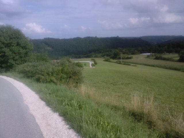
galéria trás
Mapa trasy a výškový profil
Minimum height 463 m
Maximum height 878 m
More about the tour author
|
|
75ms |
komentáre

A8 Stuttgart-München-Ausfahrt Merklingen-Schnellstraße bis Heroldstatt(Ennabeuren)
GPS trasy
Trackpoints-
GPX / Garmin Map Source (gpx) download
-
TCX / Garmin Training Center® (tcx) download
-
CRS / Garmin Training Center® (crs) download
-
Google Earth (kml) download
-
G7ToWin (g7t) download
-
TTQV (trk) download
-
Overlay (ovl) download
-
Fugawi (txt) download
-
Kompass (DAV) Track (tk) download
-
list trasy (pdf) download
-
Original file of the author (gpx) download
More about the tour author
|
|
75ms |
Add to my favorites
Remove from my favorites
Edit tags
Open track
My score
Rate