Login

Zabudli ste prihlasovacia meno

Cookies have to be accepted!
Your browser's cookie functionality is disabled. Please enable this functionality.

Not a member yet?

Register now
Login

Available for registred users only

Log in to use this feature.

Zabudli ste prihlasovacia meno

Cookies have to be accepted!
Your browser's cookie functionality is disabled. Please enable this functionality.

Not a member yet?

Register now
Filter
Kategórie
Advanced filters
  • Dĺžka (km)
  • výškomer
Uložiť filter Reset filter

TrackRank

QRCode

Technical data

Dĺžka52,8 km výškomer317 m Way down308 m Doba04:00 h:m dátum03.08.2008
ohodnotenia Author Kraj pôžitok z túry kondícia technika

štatistika

927 náhľady ohodnotenia 225 Stiahnutia priemer
Rate
  • list trasy
  • príjazd
  • Stiahnutia
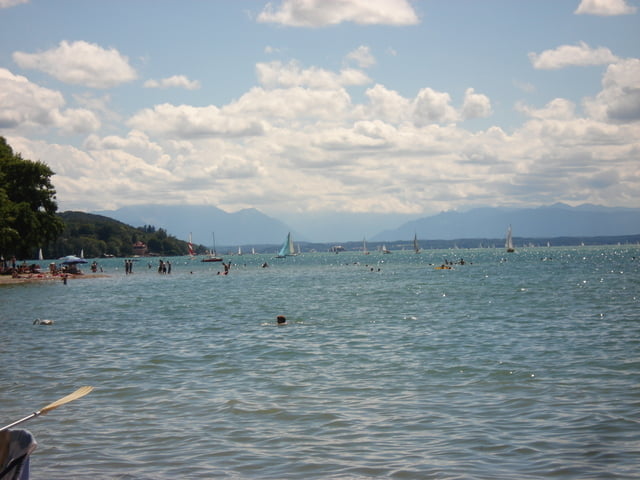
Wer sich auf den Weg zum Starnberger See machen möchte, und dabei die Verkehrsstaßen umgehen möchte, für den ist diese Route genau die richtige. Von Laim aus geht es leider erstmal über die Fürstenriederstraße Richtung Autobahn, wo wir dann in den Forstenrieder Park abbiegen und diesen dann entlang Richtung SW verlassen und über die kleinere Dörfer nach Starnberg fahren.

Mapa trasy a výškový profil

  • Open Street Map
  • Google
Minimum height 525 m Maximum height 665 m Detailný pohľad

More about the tour author

crack2002
Member since 2008

Send private message

komentáre

Start und Ziel ist hier die S-Bahn Haltestelle München-Laim.

GPS trasy

Trackpoints
  • GPX / Garmin Map Source (gpx) download
  • TCX / Garmin Training Center® (tcx) download
  • CRS / Garmin Training Center® (crs) download
  • Google Earth (kml) download
  • G7ToWin (g7t) download
  • TTQV (trk) download
  • Overlay (ovl) download
  • Fugawi (txt) download
  • Kompass (DAV) Track (tk) download
  • list trasy (pdf) download
  • Original file of the author (gpx) download

More about the tour author

crack2002
Member since 2008

Send private message
Share track
Add to my favorites
Remove from my favorites
Edit tags
My score
Rate
trasa: München Laim - Starnberg
Druh: horský bicykel
Dĺžka: 52,8 km
Evaluated on:
Doba:
Day(s)
Hour(s)
Minute(s)
ohodnotenie: Kraj pôžitok z túry kondícia technika