Login

Zabudli ste prihlasovacia meno

Cookies have to be accepted!
Your browser's cookie functionality is disabled. Please enable this functionality.

Not a member yet?

Register now
Login

Available for registred users only

Log in to use this feature.

Zabudli ste prihlasovacia meno

Cookies have to be accepted!
Your browser's cookie functionality is disabled. Please enable this functionality.

Not a member yet?

Register now
Filter
Kategórie
Advanced filters
  • Dĺžka (km)
  • výškomer
Uložiť filter Reset filter

TrackRank

QRCode

Technical data

Dĺžka35,4 km výškomer265 m Way down271 m Doba02:30 h:m dátum05.08.2008
ohodnotenia Author Kraj pôžitok z túry kondícia technika

štatistika

260 náhľady 1 ohodnotenie 32 Stiahnutia 1.00 priemer
Rate
  • list trasy
  • príjazd
  • Stiahnutia
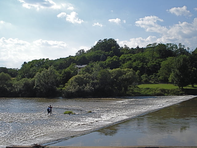
Diese Tour startet in Eschhofen am Bahnhof. Sie führt über Villmar den "Galgenberg" hoch durch die Wälder nach Aumenau und ganz easy an der Lahn zurück nach Dietkirchen zur Lahnbrücke. Mountainbike empfohlen. Diese Tour habe ich auch in einer Fassung mit etwas mehr Höhenmeter eingestellt ;)

galéria trás

Mapa trasy a výškový profil

  • Open Street Map
  • Google
Minimum height 119 m Maximum height 298 m Detailný pohľad

More about the tour author

apex
Member since 2008

Send private message

komentáre

GPS trasy

Trackpoints
  • GPX / Garmin Map Source (gpx) download
  • TCX / Garmin Training Center® (tcx) download
  • CRS / Garmin Training Center® (crs) download
  • Google Earth (kml) download
  • G7ToWin (g7t) download
  • TTQV (trk) download
  • Overlay (ovl) download
  • Fugawi (txt) download
  • Kompass (DAV) Track (tk) download
  • list trasy (pdf) download
  • Original file of the author (gpx) download

More about the tour author

apex
Member since 2008

Send private message
Share track
Add to my favorites
Remove from my favorites
Edit tags
My score
Rate
trasa: Eschhofen-Aumenau-Dietkirchen
Druh: horský bicykel
Dĺžka: 35,4 km
Evaluated on:
Doba:
Day(s)
Hour(s)
Minute(s)
ohodnotenie: Kraj pôžitok z túry kondícia technika