Login

Zabudli ste prihlasovacia meno

Cookies have to be accepted!
Your browser's cookie functionality is disabled. Please enable this functionality.

Not a member yet?

Register now
Login

Available for registred users only

Log in to use this feature.

Zabudli ste prihlasovacia meno

Cookies have to be accepted!
Your browser's cookie functionality is disabled. Please enable this functionality.

Not a member yet?

Register now
Filter
Kategórie
Advanced filters
  • Dĺžka (km)
  • výškomer
Uložiť filter Reset filter

TrackRank

QRCode

Technical data

Dĺžka25,8 km výškomer568 m Way down565 m Doba02:00 h:m dátum09.08.2008
ohodnotenia Author User Kraj pôžitok z túry kondícia technika

štatistika

365 náhľady 1 ohodnotenie 82 Stiahnutia 3.00 priemer
Rate
  • list trasy
  • príjazd
  • Stiahnutia

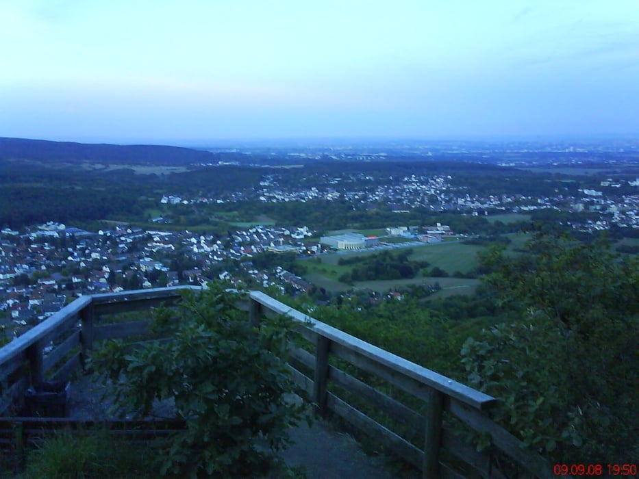
2h - Abendrunde Rund um Gundelhard

galéria trás

Mapa trasy a výškový profil

  • Open Street Map
  • Google
Minimum height 175 m Maximum height 467 m Detailný pohľad

More about the tour author

HANSALP
Member since 2008

Send private message

komentáre

Abfahrt von Bad Soden - Am Carlusbaum

GPS trasy

Trackpoints
  • GPX / Garmin Map Source (gpx) download
  • TCX / Garmin Training Center® (tcx) download
  • CRS / Garmin Training Center® (crs) download
  • Google Earth (kml) download
  • G7ToWin (g7t) download
  • TTQV (trk) download
  • Overlay (ovl) download
  • Fugawi (txt) download
  • Kompass (DAV) Track (tk) download
  • list trasy (pdf) download
  • Original file of the author (gpx) download

More about the tour author

HANSALP
Member since 2008

Send private message
Share track
Add to my favorites
Remove from my favorites
Edit tags
My score
Rate
trasa: gundelhard-taunus
Druh: horský bicykel
Dĺžka: 25,8 km
Evaluated on:
Doba:
Day(s)
Hour(s)
Minute(s)
ohodnotenie: Kraj pôžitok z túry kondícia technika