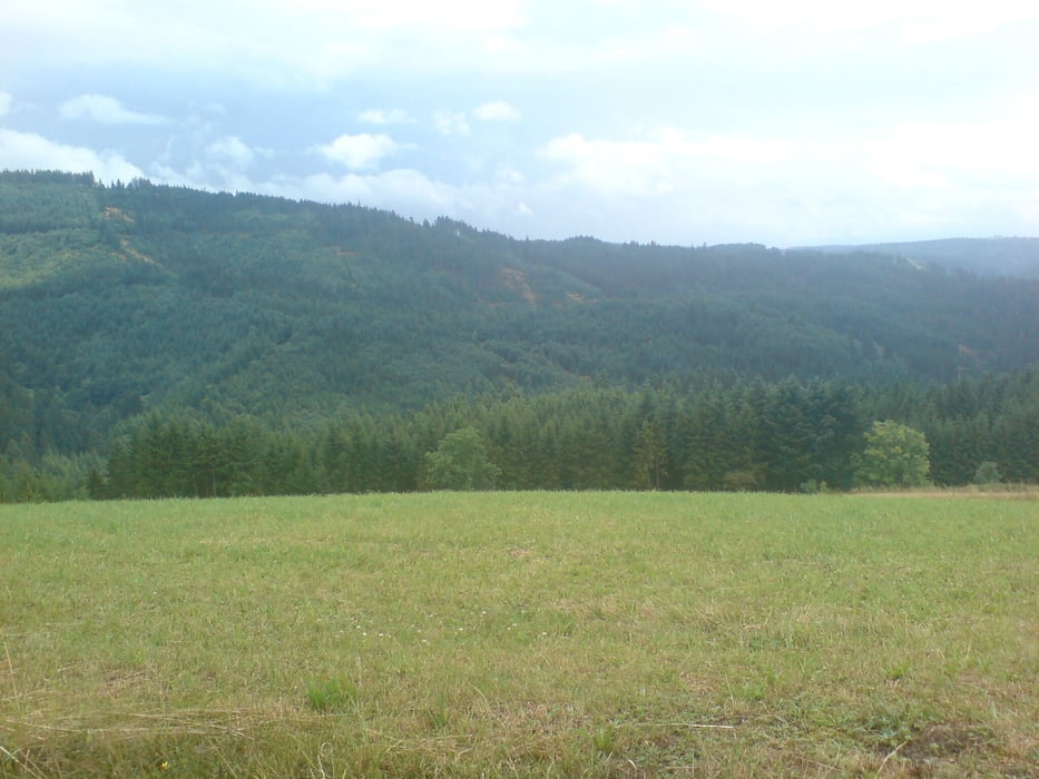
Wer andauerndes Auf- und Ab auf Schotterpisten im Nadelwald liebt, ist hier genau richtig.
Für alle anderen: die wenigen Singletraileinlagen und die behauenen Feldsteine bei Wellesberg lohnen die Mühen kaum!
Further information at
http://www.frankenwald-aktiv.deMapa trasy a výškový profil
Minimum height 99999 m
Maximum height -99999 m
komentáre
GPS trasy
Trackpoints-
GPX / Garmin Map Source (gpx) download
-
TCX / Garmin Training Center® (tcx) download
-
CRS / Garmin Training Center® (crs) download
-
Google Earth (kml) download
-
G7ToWin (g7t) download
-
TTQV (trk) download
-
Overlay (ovl) download
-
Fugawi (txt) download
-
Kompass (DAV) Track (tk) download
-
list trasy (pdf) download
-
Original file of the author (gpx) download
Add to my favorites
Remove from my favorites
Edit tags
Open track
My score
Rate


wunderschöne Tour
Abwechslungsreich in schöner Umgebung mit teilweise herrlicher Aussicht. Top!!