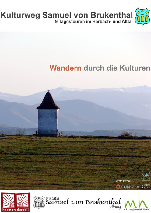
Von Kerz aus nimmt man die Fähre oder die Hängebrücke über den Alt und läuft dann über einen Ortsverbindungsweg bis Poeniţa. Von dort aus geht es einen ausgefahrenen schlechten Forstweg steil bergauf, bis man nach einem Waldstück auf offene Schafweiden trifft. Von hier aus läuft der Weg auf einem Kamm mit Ausblick ins Harbach- und Alttal, anschließend durch Buchen- und Eichenwald bis Holzmengen.
Further information at
http://www.hosman-durabil.orgMapa trasy a výškový profil
Minimum height 411 m
Maximum height 619 m
komentáre

GPS trasy
Trackpoints-
GPX / Garmin Map Source (gpx) download
-
TCX / Garmin Training Center® (tcx) download
-
CRS / Garmin Training Center® (crs) download
-
Google Earth (kml) download
-
G7ToWin (g7t) download
-
TTQV (trk) download
-
Overlay (ovl) download
-
Fugawi (txt) download
-
Kompass (DAV) Track (tk) download
-
list trasy (pdf) download
-
Original file of the author (gpx) download
Add to my favorites
Remove from my favorites
Edit tags
Open track
My score
Rate

