Login

Zabudli ste prihlasovacia meno

Cookies have to be accepted!
Your browser's cookie functionality is disabled. Please enable this functionality.

Not a member yet?

Register now
Login

Available for registred users only

Log in to use this feature.

Zabudli ste prihlasovacia meno

Cookies have to be accepted!
Your browser's cookie functionality is disabled. Please enable this functionality.

Not a member yet?

Register now
Filter
Kategórie
Advanced filters
  • Dĺžka (km)
  • výškomer
Uložiť filter Reset filter

TrackRank

QRCode

Technical data

Dĺžka24,9 km výškomer479 m Way down479 m Doba02:06 h:m dátum10.08.2008
ohodnotenia Author Kraj pôžitok z túry kondícia technika

štatistika

1427 náhľady 1 ohodnotenie 469 Stiahnutia 1.00 priemer
Rate
  • list trasy
  • príjazd
  • Stiahnutia
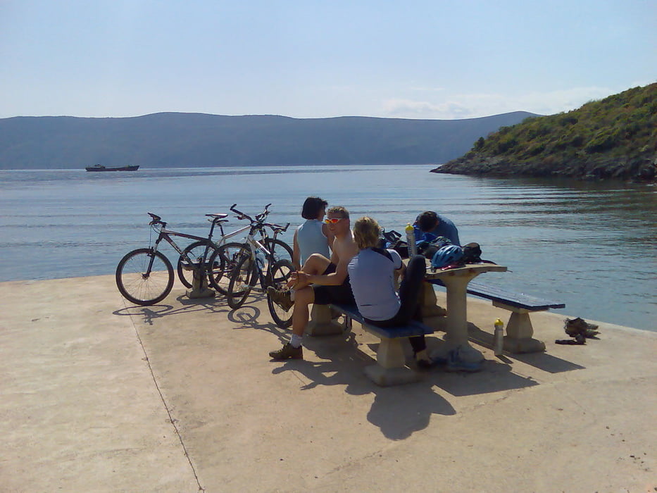
Tour on the island Krk. Starting from Porat, small port near by Malinska. Route is on different paths, asphalt, macadam etc. It is suitable to all kind of bikers. One part is very hard to drive (uphill), but is's around 15 minutes of walk. Best time to do this trip is spring and autumn, due to high temperatures and lot's of tourists in the summer.

galéria trás

Mapa trasy a výškový profil

  • Open Street Map
  • Google
Minimum height -1 m Maximum height 181 m Detailný pohľad

More about the tour author

sepi
Member since 2008

Send private message

komentáre

Starting  and end point is Porat, willage close to Malinska.

GPS trasy

Trackpoints
  • GPX / Garmin Map Source (gpx) download
  • TCX / Garmin Training Center® (tcx) download
  • CRS / Garmin Training Center® (crs) download
  • Google Earth (kml) download
  • G7ToWin (g7t) download
  • TTQV (trk) download
  • Overlay (ovl) download
  • Fugawi (txt) download
  • Kompass (DAV) Track (tk) download
  • list trasy (pdf) download
  • Original file of the author (gpx) download

More about the tour author

sepi
Member since 2008

Send private message
Share track
Add to my favorites
Remove from my favorites
Edit tags
My score
Rate
trasa: Island Krk - round
Druh: horský bicykel
Dĺžka: 24,9 km
Evaluated on:
Doba:
Day(s)
Hour(s)
Minute(s)
ohodnotenie: Kraj pôžitok z túry kondícia technika