


Ausgangs- und Endpunkt der Wanderung ist der Campingplatz Seiser Alm bei Völs.
Man sollte unbedingt den ganzen Tag einplanen; wir waren mit Pausen ca. 10 Std. unterwegs.
Die Wanderung eignet sich nicht für kleiner Kinder, da der Schäufelesteig in Richtung Schlern Haus recht anspruchsvoll ist. Bei schönem Wetter bietet die Wanderung extem schöne Ausblicke im nahezu 360 Grad-Modus!!! Wir haben die Wanderung in 4 Etappen eingeteilt wobei eine Verkürzung (direkt vom Schlern Haus nach Compatsch) möglich ist.
1. Etappe
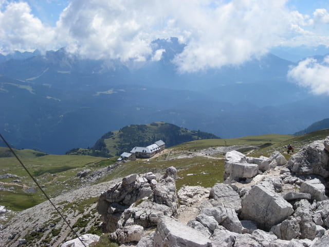
Campingplatz Seiser Alm startend in Richtung Völser Weiher (Wandereg Nr. 1) weiter zur Tuff-Alm und Hofer Alpe (rechts liegenlassen); später abzweigend auf Wanderweg Nr. 3 (Schäufelesteig; tolle Ausblicke in Richtung Bozen) bis Schlern-Haus folgend => Aufstiegzeit ca. 4 Std.; ca. 1.560 Höhenmeter.
2. Etappe
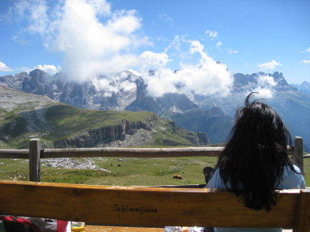
Aufstieg vom Schlern-Haus zum Gipfelkreuz; => Auf- bzw. Abstiegszeit ca. 40 Min. ca. 140 Höhenmeter.
3. Etappe
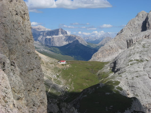
Vom Schlern-Haus zur Tierser-Alpel Wanderweg Nr. 4 folgend => Auf- und Abstiegzeit ca. 1,5 – 2 Std.; ca. 430 Höhenmeter.
4. Etappe
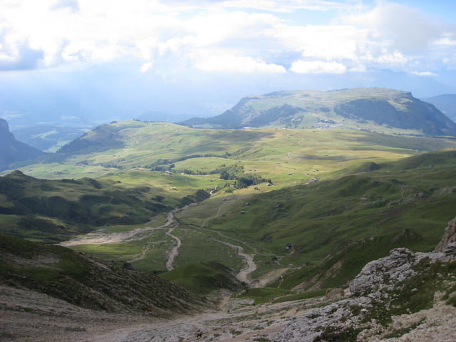
Von der Tierser Alpe nach Compatsch => Abstiegzeit ca. 1 ¾ Std.
5. Etappe
Von Compatsch mit der Seilbahn ins Tal (Einfach 9 € incl. Bus) und mit den Bus (Nr. 2 Völs) zurück zum Ausgangspukt Campingplatz Seiser Alm.
Gesamt: Aufstieg Hm ca. 2.130; Gehzeit ca. 10 Std.; Distanz ca. 25 km (ohne Seilbahn bzw. Rückfahrt mit Bus); max. Höhe 2.575 m
galéria trás
Mapa trasy a výškový profil
Minimum height 883 m
Maximum height 2572 m
More about the tour author
|
|
Pasolini |
komentáre

über die Brennerautobahn vor der Ausfahrt Bozen Nord in Richtung Kastelruth, Völs
GPS trasy
Trackpoints-
GPX / Garmin Map Source (gpx) download
-
TCX / Garmin Training Center® (tcx) download
-
CRS / Garmin Training Center® (crs) download
-
Google Earth (kml) download
-
G7ToWin (g7t) download
-
TTQV (trk) download
-
Overlay (ovl) download
-
Fugawi (txt) download
-
Kompass (DAV) Track (tk) download
-
list trasy (pdf) download
-
Original file of the author (gpx) download
More about the tour author
|
|
Pasolini |
Add to my favorites
Remove from my favorites
Edit tags
Open track
My score
Rate