
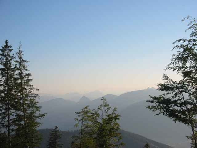

Schöne Tour mit herrlichen Ausblicken auf den Schliersee. Lange Schotter Auffahrt, gefolgt von kurzen Downhills und einer kurzen Tragepassage. Dann geht es weiter auf großteils fahrbaren Trails zum Schliersberg Gipfel. Weiter auf steilem Downhill zur Schliersberg Alm. Danach auf der Strasse wieder zurück nach Schliersee zum Ausgangspunkt mit einem letzten kleinen Zwischentrial.
Mapa trasy a výškový profil
Minimum height 753 m
Maximum height 1261 m
More about the tour author

|
aspanu |
komentáre

Von München nach Holzkirchen über Gmund nach Hausham weiter nach Schliersee. Fast ganz durch Schliersee und ca. 100 m nach dem Wirtshaus "Fischerstüberl" links in die Unterleiten Strasse. Auf dem Parkplatz ist der Startpunkt.
GPS trasy
Trackpoints-
GPX / Garmin Map Source (gpx) download
-
TCX / Garmin Training Center® (tcx) download
-
CRS / Garmin Training Center® (crs) download
-
Google Earth (kml) download
-
G7ToWin (g7t) download
-
TTQV (trk) download
-
Overlay (ovl) download
-
Fugawi (txt) download
-
Kompass (DAV) Track (tk) download
-
list trasy (pdf) download
-
Original file of the author (gpx) download
More about the tour author
|
|
aspanu |
Add to my favorites
Remove from my favorites
Edit tags
Open track
My score
Rate