


Der Trail besteht aus insgesamt 4 Einzel-Trails (A,B,C,D), und ist Bestandteil des Highland State Parks. Den Trail Head erreicht man nicht über den Haupteingang - bitte Anfahrt beachten.
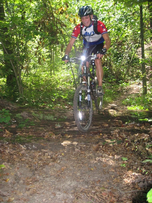
Der Name "Highland" ist eigentlich zu einfach, er sollte besser "Trail der 3.000 Kurven heißen". Von allen 12 Trails die ich in dieser Area gefahren bin, ist dieser deutlich der anstrengenste - obwohl keine hohen Schwierigkeitsgrade vorliegen. Der Grund dafür das er so hart ist, liegt wohl daran, dass er ca. 3.000 Kurven hat und man kaum Zeit zum Ausruhen hat. Man findet auch nur eine einzige Stelle, wo es einmal 150 m geradeaus geht - sonst nur Kurven und ein ewiges Herauf und Herunter.
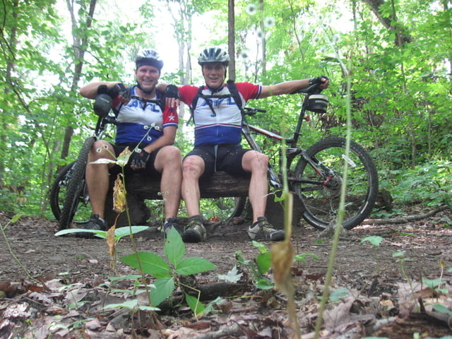
Alles in Allem ein einzigartiger Trail den man einfach gefahren haben muss - eben eine Herausforderung.
PS. Nach Aktivierung des Links, bekommt man eine ausführliche Beschreibung des Highland Trails und nach dem Anklicken des Links "MAPS" (auf der rechten Seite) auch einen detaillierten Trailplan mit allen Möglichkeiten Trail (A,B,C,D).Further information at
http://www.mmba.org/trails.php?trail=6galéria trás


Mapa trasy a výškový profil
Minimum height 288 m
Maximum height 354 m
More about the tour author
|
|
HvdH |
komentáre

Der Trail liegt Nähe Highland / Milford. Von der 59 aus beiden Richtungen kommend bis zur Duck Lake Road, dann in südliche Richtung abbiegen. Erste Strasse rechts Richtung Westen in die Livingston Road bis zum Trail Head.
GPS trasy
Trackpoints-
GPX / Garmin Map Source (gpx) download
-
TCX / Garmin Training Center® (tcx) download
-
CRS / Garmin Training Center® (crs) download
-
Google Earth (kml) download
-
G7ToWin (g7t) download
-
TTQV (trk) download
-
Overlay (ovl) download
-
Fugawi (txt) download
-
Kompass (DAV) Track (tk) download
-
list trasy (pdf) download
-
Original file of the author (gpx) download
More about the tour author
|
|
HvdH |
Add to my favorites
Remove from my favorites
Edit tags
Open track
My score
Rate