

Tour rund um den Übungsplatz Hohenfels mit Uphill auf 6 Burgen.
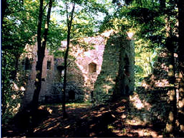
Zunächst von Ensdorf aus durch den Hirschwald zur Ruine Rosstein, die inmitten des Taubenbacher Forstes liegt.
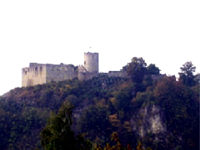
Weiter nach Hohenburg und dann über Velburg nach Hohenfels und schließlich von Rohrbach noch einen kleinen Abstecher auf die Burg in Kallmünz.
Zum Schluß (nach der Eisdiele in Rieden) noch über den Schloßberg nach Ensdorf zurück.
Konditionell anspruchsvoll wirds eigentlich erst durch die ständigen Uphills auf die Burgen hoch, ansonsten keine technischen Herausforderungen und sehr hoher Straßenanteil.
Am Anfang noch teilweise auf dem Jakobsweg.
Der Schluß der Tour ist eben auf dem Weg von Grosbissendorf nach Rohrbach (fallend) und auf dem Vilstalradweg.
Further information at
http://www.burgenseite.de/html/karte.htmlgaléria trás


Mapa trasy a výškový profil
Minimum height 330 m
Maximum height 619 m
More about the tour author

|
winorg |
komentáre

Start ist in Ensdorf.
Am besten bei der Brücke über die Vils starten.
GPS trasy
Trackpoints-
GPX / Garmin Map Source (gpx) download
-
TCX / Garmin Training Center® (tcx) download
-
CRS / Garmin Training Center® (crs) download
-
Google Earth (kml) download
-
G7ToWin (g7t) download
-
TTQV (trk) download
-
Overlay (ovl) download
-
Fugawi (txt) download
-
Kompass (DAV) Track (tk) download
-
list trasy (pdf) download
-
Original file of the author (gpx) download
More about the tour author
|
|
winorg |
Add to my favorites
Remove from my favorites
Edit tags
Open track
My score
Rate