

galéria trás
Mapa trasy a výškový profil
Minimum height 524 m
Maximum height 2075 m
More about the tour author

|
mastergraf |
komentáre

JV
on 09.09.2006
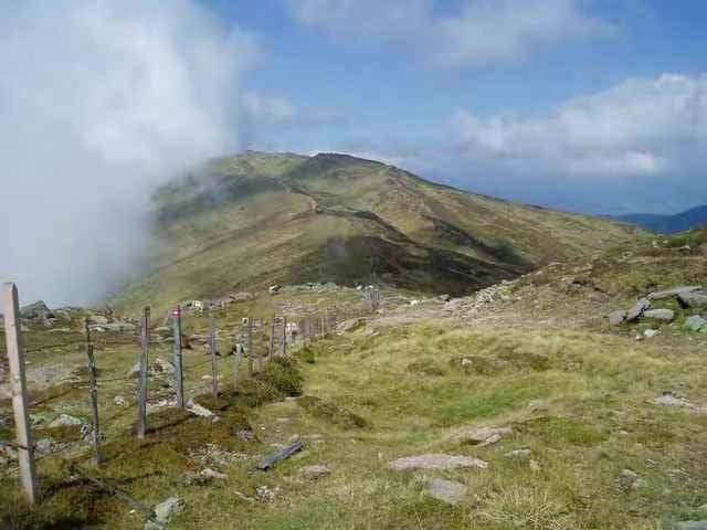
Schöne Tour mit guter, aber steiler Almstrasse zur Lammersdorfer Almhütte.
Timo Weismüller
on 18.08.2007
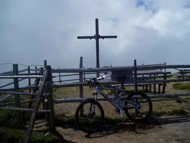
Super Tour, hoch eine schöne Almstraße parallel zur stark befahrenen Straße zur Lammersdorfer Hütte. Runter dann genau diese Straße... hier laufen die Bremsen schnell heiß. Leider muss man zum Kreuz die letzten 100hm schieben. Aber auch das lohnt sich.

a9203207
on 08.06.2008
Sehr schöne Tour mit angenehm gleichmässiger Forststrassenauffahrt. Mittlerweile bis zum Almkreuz befahrbar (neue Forststrasse), auf ca. 1880m nicht durch die Tafel "Forststrasse endet in 300 m" irritieren lassen sondern auf Forststrasse bleiben.
GPS trasy
Trackpoints-
GPX / Garmin Map Source (gpx) download
-
TCX / Garmin Training Center® (tcx) download
-
CRS / Garmin Training Center® (crs) download
-
Google Earth (kml) download
-
G7ToWin (g7t) download
-
TTQV (trk) download
-
Overlay (ovl) download
-
Fugawi (txt) download
-
Kompass (DAV) Track (tk) download
-
list trasy (pdf) download
-
Original file of the author (g7t) download
More about the tour author
|
|
mastergraf |
Add to my favorites
Remove from my favorites
Edit tags
Open track
My score
Rate