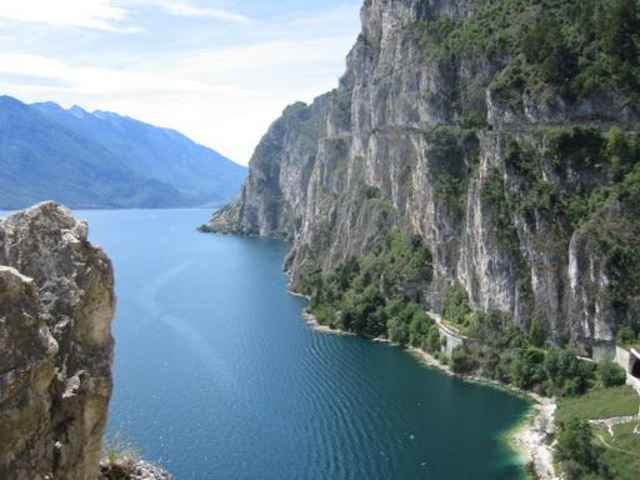
Torbole (Gardasee) - Riva - die alte Straße den Hang entlang bis Pregasina - den Wanderweg 422B bis Ex. M.ga Palaer, auf dem Weg viel phantastische Blicke auf den Gardaee, teilweise Steil aber gut fahrbar - dann ca. 3km zurück auf dem Weg 422 dann links ab, der Weg ist praktisch nicht befahrbar bis zum Passo Rochetta von dort über einen Saumpfad am bewachsenen Abhang entlang bis zum Passo Guil, der Weg ist meistens befahrbar aber ziemlich schwierig - über Wiesen und Almen das Val San Antonio entlang am Ort San Antonio vorbei extrem steilweise Fahrstrasse (dass man da mit dem Auto fahren kann ist kaum zu glauben) bis nach Pre, dann Biacesa und dirket vor dem großen Tunnel geht es rechts ab auf die alte Straße von Riva durch Tunnel und Serpentinen nur für Radfahrer und Fußgänger nach Riva und dann Torbole (Gardasee)
galéria trás
Mapa trasy a výškový profil
Minimum height 61 m
Maximum height 1212 m
komentáre

jkrug
on 19.06.2008
sesationelle Tour! nur die Tragepassagen sind ein bißchen lang!

Brennerautobahn bis Roveretto dann Richtung Gardasse, Torbole
GPS trasy
Trackpoints-
GPX / Garmin Map Source (gpx) download
-
TCX / Garmin Training Center® (tcx) download
-
CRS / Garmin Training Center® (crs) download
-
Google Earth (kml) download
-
G7ToWin (g7t) download
-
TTQV (trk) download
-
Overlay (ovl) download
-
Fugawi (txt) download
-
Kompass (DAV) Track (tk) download
-
list trasy (pdf) download
-
Original file of the author (g7t) download
Add to my favorites
Remove from my favorites
Edit tags
Open track
My score
Rate


