

Die Tour startet in Baldingen, geht über Schotterwege und kleine Nebenstraßen nach Rothenburg ob der Tauber und endet am Spitaltor.
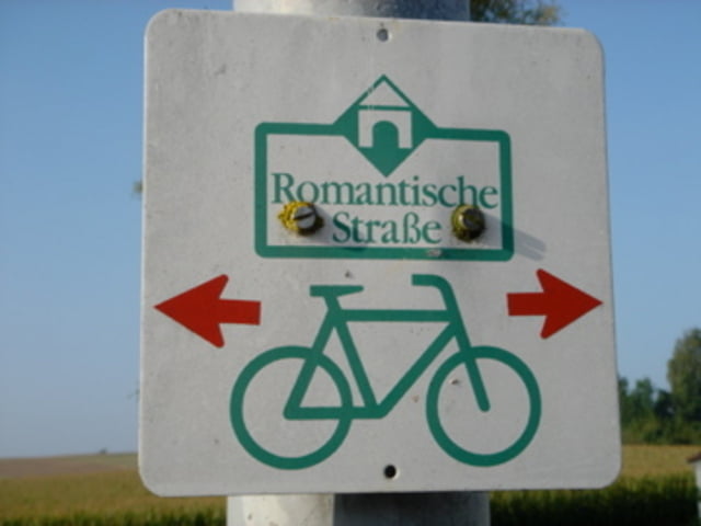
Der Weg folgt in großen und ganzen dem Radweg "Romantische Straße" mit kleinen Abweichungen.
Verpflegung jeder Art gibt es in Dinkelsbühl. Hier sind im Sommer sogar am Sonntag einig Lebensmittelläden und Bäcker offen.
In Schillingsfürst ist die Eisdiele ab vom Weg, oben am Schloss. Wer hier hin möchte muss noch ein paar Höhenmeter mehr einkalkulieren.
Nach dem Spitaltor in Rothenburg kommt aber auch eine Eisdiele. Ein Besuch im Teddyland in der Herrngasse loht sich.
Mapa trasy a výškový profil
Minimum height 357 m
Maximum height 514 m
More about the tour author

|
duettoholger |
komentáre

GPS trasy
Trackpoints-
GPX / Garmin Map Source (gpx) download
-
TCX / Garmin Training Center® (tcx) download
-
CRS / Garmin Training Center® (crs) download
-
Google Earth (kml) download
-
G7ToWin (g7t) download
-
TTQV (trk) download
-
Overlay (ovl) download
-
Fugawi (txt) download
-
Kompass (DAV) Track (tk) download
-
list trasy (pdf) download
-
Original file of the author (gpx) download
More about the tour author
|
|
duettoholger |
Add to my favorites
Remove from my favorites
Edit tags
Open track
My score
Rate