


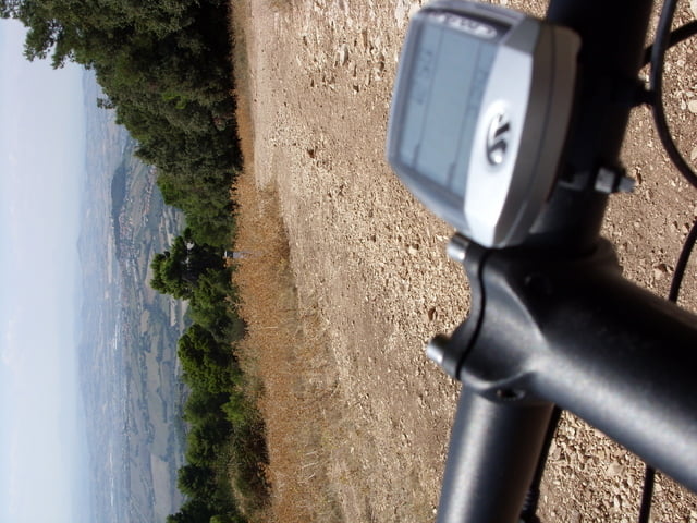
Die Tour verbindet einige der im lokalen Führer angebotenen Routen miteinander und beinhaltet auch die schönsten Aussichtspunkte (Passo del Lupo, Pian Grande, Pian di Raggetti. Sehr schön auch die Abfahrt hinunter nach Fonte d'Olio. Als Abschluss noch ein paar Kilometer auf der Anello della Percorara (schöner Single Trail, eher flach). Einzig der etwas wechselnde Untergrund (tw. Fels, Geröll) auf der Abfahrt vom Pian di Raggetti stellt eine Schwieigkeit dar.
Further information at
http://www.michael-mueller-verlag.de/xtras/pdf/italienische_adriakueste_leseprobe_2.pdfgaléria trás


Mapa trasy a výškový profil
Minimum height 54 m
Maximum height 571 m
More about the tour author

|
helmi |
komentáre

Route startet vom Campingplatz Green Garden in Sirolo.
GPS trasy
Trackpoints-
GPX / Garmin Map Source (gpx) download
-
TCX / Garmin Training Center® (tcx) download
-
CRS / Garmin Training Center® (crs) download
-
Google Earth (kml) download
-
G7ToWin (g7t) download
-
TTQV (trk) download
-
Overlay (ovl) download
-
Fugawi (txt) download
-
Kompass (DAV) Track (tk) download
-
list trasy (pdf) download
-
Original file of the author (gpx) download
More about the tour author
|
|
helmi |
Add to my favorites
Remove from my favorites
Edit tags
Open track
My score
Rate