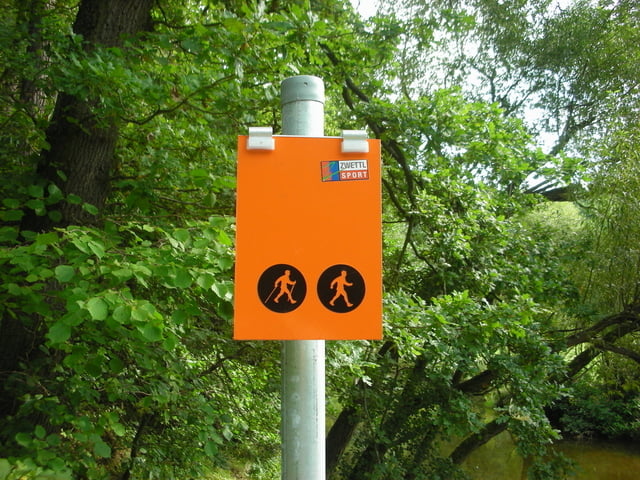
Wir starten beim Zwettlbad Richtung Sportplatz, vorbei beim Kindergarten, geradeaus weiter über die Kampbrücke und hinauf auf eine kleine Anhöhe. Hier wenden wir uns links in das Zwettltal, bis kurz vor Syrafeld der Weg rechts Richtung Wirtshaus Demutsgraben abzweigt. Von hier walken wir wieder zurück ins Zwettltal und weiter bis zur vorhin beschriebenen kleinen Anhöhe. Hier wenden wir uns nach links und biegen bei der dritten Gelegenheit wieder nach rechts ab. Auf dem sogenannten Sonnenweg gehen wir zurück nach Zwettl, rechts bei der Evangelischen Kirche vorbei und nach zwei Serpentinen gelangen wir hinunter zum Mühlbach. Hier rechts und gleich wieder links über den Kamp zurück zum Zwettlbad.
Die Strecke ist durchgehend ORANGE markiert.
Streckencharakteristik: 10% Asphalt, 90% Schotter- und Waldwege
Karte als Folder Im Zwettlbad erhältlich oder als Großkarte beim Eingang zum Zwettlbad.
Mehr Info und Deine Meinung in meinem Wanderblog - schau doch mal vorbei!
Further information at
http://www.zwalk.at/nordic-walking-zwettltal-runde/galéria trás
Mapa trasy a výškový profil
komentáre

Per Auto, ÖBB-Postbus oder Wieselbus
Per Auto - Parkplätze beim Busbahnhof und Zwettlbad vorhanden
- nördlich Waidhofen/Thaya Richtung Vitis Kreisverkehr und weiter nach Zwettl, beim zweiten Kreisverkehr Richtung Groß Gerungs und nach der zweiten Ampel nach rechts zum Parkplatz beim Busbahnhof
- westlich von Groß Gerungs bis nach Zwettl und schon beim Busbahnhof links zum Parkplatz
- südlich Westautobahn A1 Abfahrt Ybbs, Würnsdorf, Ottenschlag, Zwettl und schon beim Busbahnhof links zum Parkplatz
GPS trasy
Trackpoints-
GPX / Garmin Map Source (gpx) download
-
TCX / Garmin Training Center® (tcx) download
-
CRS / Garmin Training Center® (crs) download
-
Google Earth (kml) download
-
G7ToWin (g7t) download
-
TTQV (trk) download
-
Overlay (ovl) download
-
Fugawi (txt) download
-
Kompass (DAV) Track (tk) download
-
list trasy (pdf) download
-
Original file of the author (gpx) download


