


Die ersten 3 Tage dieser Tour siehe Dreiländer - Achter 1 bis 3!
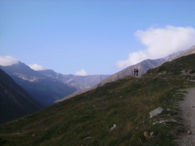
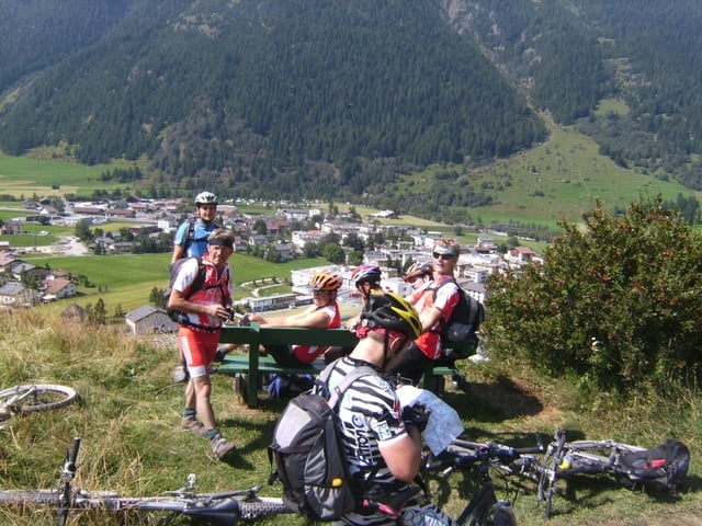
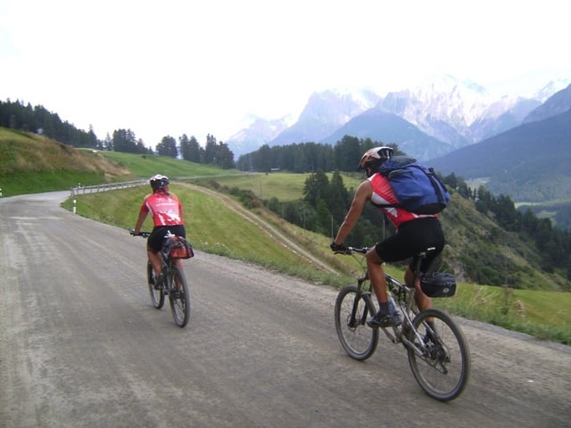
Von Livigno gehts gemütlich ins Val Federia, bis sich der Weg kurz vor einer Alm steil nach rechts aufwärts zieht. Nur die harten bleiben im Sattel. Es sollte keine Schande sein, den folgenden Weg bis zur Scharte (Schweizer Grenze) schiebend zurückzulegen. Kurz vor der Scharte besteht noch eine Einkehrmöglichkeit. Die Abfahrt ins Inntal ist eine Herausforderung an die Fahrkünste. Wer nicht absteigt, beherrscht sein Rad! Ab dem Almboden gehts nur noch auf Straßen dem Innradweg entgegen. Auf ihm, immer gut ausgeschildert, Zernez wird wie manch andere Ortschaften umfahren, gehts bis Lavin am Inn entlang. Dort führt der Radweg am Südhang zum Vorzeigedorf Guarda rauf und weiter, immer mit Blick in die Sesvennagruppe, nach Ftan und von dort in einem Zug auf der Hauptstraße nach Scuol zum Auto.
Further information at
http://www.dav-tittmoning.de/Bergbeisser/Berichte_2008/Vinschgau/Vinschgau.htmlgaléria trás

Mapa trasy a výškový profil
Minimum height 1197 m
Maximum height 2677 m
More about the tour author
|
|
herzi |
komentáre

GPS trasy
Trackpoints-
GPX / Garmin Map Source (gpx) download
-
TCX / Garmin Training Center® (tcx) download
-
CRS / Garmin Training Center® (crs) download
-
Google Earth (kml) download
-
G7ToWin (g7t) download
-
TTQV (trk) download
-
Overlay (ovl) download
-
Fugawi (txt) download
-
Kompass (DAV) Track (tk) download
-
list trasy (pdf) download
-
Original file of the author (gpx) download
More about the tour author
|
|
herzi |
Add to my favorites
Remove from my favorites
Edit tags
Open track
My score
Rate