


Fahrt entlang des Europäischen Wasserscheide Wanderweges.
Die Tour beginnt am Bahnhof in Steinach (Ausschilderung ab dem Wildbad) und endet wie der Wanderweg am Bahnhof in Schnelldorf. Beide Bahnhöfe liegen im Gebiet des VGN
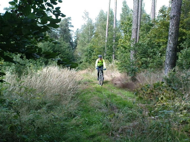
Der Wanderweg ist sehr gut ausgeschildert und die Strecke kann deshalb auch ohne GPS Gerät gefahren werden.
Die gesamte Strecke ist recht gut fahrbar. Lediglich am Gailnauer Graben sind einige Stufen. Etwas später habe ich die Route für ein paar hundert Meter leicht geändert, da sie zu sehr zugewuchert ist.
Am 14.06.09 sind wir die Tour "rückwärts" gefahren. Start war also in Schnelldorf. Mein Eindruck ist, daß sie sich in dieser Richtung schöner fahren lässt. Einfach mal probieren!
Aktualisierung des Traks auf die Gesamtstrecke von Schnelldorf nach Ansbach am 10.05.2018
galéria trás


Mapa trasy a výškový profil
Minimum height 404 m
Maximum height 550 m
More about the tour author

|
Maplebiker |
komentáre

GPS trasy
Trackpoints-
GPX / Garmin Map Source (gpx) download
-
TCX / Garmin Training Center® (tcx) download
-
CRS / Garmin Training Center® (crs) download
-
Google Earth (kml) download
-
G7ToWin (g7t) download
-
TTQV (trk) download
-
Overlay (ovl) download
-
Fugawi (txt) download
-
Kompass (DAV) Track (tk) download
-
list trasy (pdf) download
-
Original file of the author (gpx) download
More about the tour author
|
|
Maplebiker |
Add to my favorites
Remove from my favorites
Edit tags
Open track
My score
Rate