
")

Diese Tour beginnt bei Zweirad Stadler ( kennt wohl fast jeder ) in Hammerau und führt von Piding nach Bad Reichernhall über die Schwarzbachwachtalmen zur Anthauptenalm.
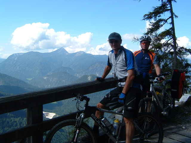
Mittelschwere Tour mit schöner Landschaft und Ausblick auf den Hochkalter. Ein herrlicher Radweg entlang der Saalach, imposante Blicke zum Felsmassiv der Reiter Alpe, und tolle Aussichtspunkte auf dem gesamten Weg zieren diese Tour.
Einkehrmöglichkeiten von 1.Juli bis ca. 1.September neben der Almhütten gleich neben der Anthauptenalm. 1 Monat vor und nach dieser Zeit in den Almen der Schwarzbachwacht. Leckerer selbst gemachter Käse ( Geheimtipp ).
galéria trás
Mapa trasy a výškový profil
Minimum height 440 m
Maximum height 1308 m
More about the tour author
|
|
Bertl |
komentáre

So einfach finden Sie Zweirad Stadler:
Direkt an der B20 zwischen Bad Reichenhall und Freilassing, BAB München-Salzburg, Abfahrt Piding ( Bad Reichenhall), Richtung Freilassing.
Direkt an der B20 zwischen Bad Reichenhall und Freilassing, BAB München-Salzburg, Abfahrt Piding ( Bad Reichenhall), Richtung Freilassing.
GPS trasy
Trackpoints-
GPX / Garmin Map Source (gpx) download
-
TCX / Garmin Training Center® (tcx) download
-
CRS / Garmin Training Center® (crs) download
-
Google Earth (kml) download
-
G7ToWin (g7t) download
-
TTQV (trk) download
-
Overlay (ovl) download
-
Fugawi (txt) download
-
Kompass (DAV) Track (tk) download
-
list trasy (pdf) download
-
Original file of the author (g7t) download
More about the tour author
|
|
Bertl |
Add to my favorites
Remove from my favorites
Edit tags
Open track
My score
Rate